General Atlas of Engraved Maps, Dr. Playfair
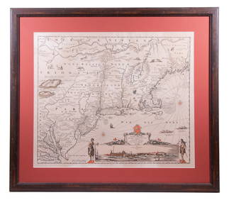
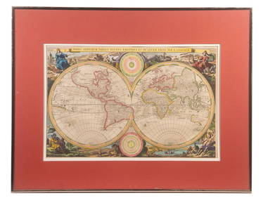
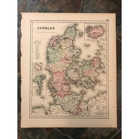
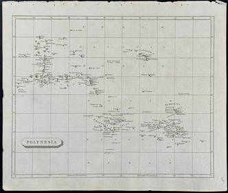
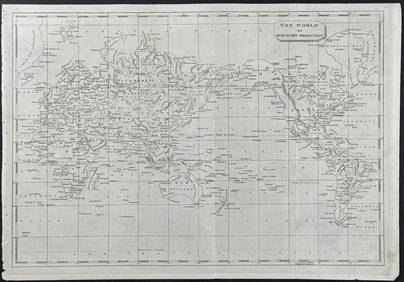
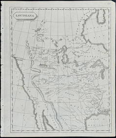
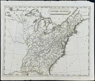
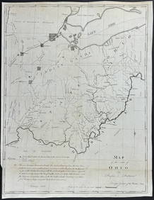
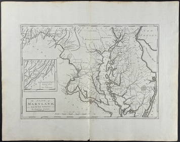
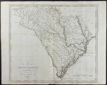
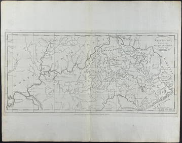
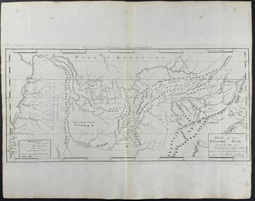
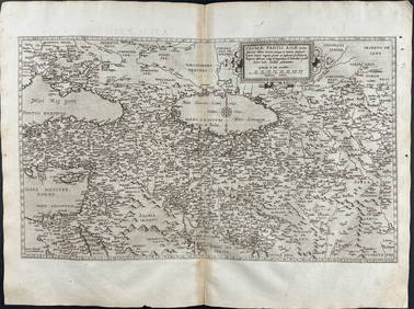
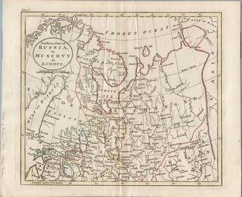
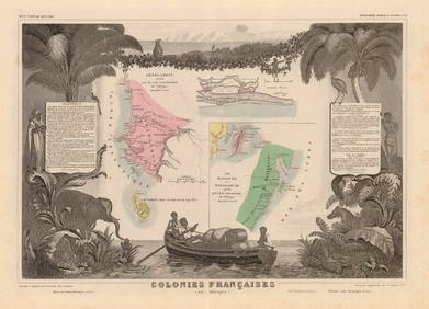
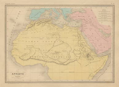
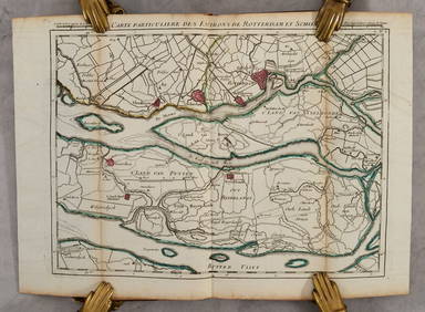
19thc Colton Map of DenmarkFeb 24, 2024Arrowsmith & Lewis - Map of PolynesiaFeb 24, 2024Arrowsmith & Lewis - Map of North AmericaFeb 24, 2024Arrowsmith & Lewis - Map of the World on Mercator's ProjectionFeb 24, 2024Arrowsmith & Lewis - Map of LouisianaFeb 24, 2024Arrowsmith & Lewis - Map of the United StatesFeb 24, 2024Putnam - First Map of the State of Ohio by Rufus PutnamFeb 24, 2024Carey, pub. 1796 - Map of the State of MarylandFeb 24, 2024Carey, pub. 1796 - Map of GeorgiaFeb 24, 2024Carey, pub. 1796 - Map of The State of South CarolinaFeb 24, 2024Carey, pub. 1796 - Map of KentuckyFeb 24, 2024Carey, pub. 1796 - Map of the Tennassee State formerly part of North Carolina (Tennessee)Feb 24, 2024De Jode, Rare, pub. 1593 - Map of Luxembourg (Lutzenburgii montuosissimi ac saltuosissimi ducatusFeb 24, 2024De Jode, Rare, pub. 1593 - Map of the British Isles [England, Scotland, Ireland] (Angliae Scotiae etFeb 24, 2024De Jode, Rare, pub. 1593 - Map of the Czech Republic or Kingdom of Bohemia (Chorographia insignisFeb 24, 2024De Jode, Rare, pub. 1593 - Map of the Middle East, Eastern Asia (Primae Partis Asiae accurataFeb 24, 20241816 MAP SOUTHERN PART OF RUSSIA or MUSCOVY in EUROPE copper engraving ANTIQUEFeb 27, 20241816 MAP NORTHERN PART OF RUSSIA or MUSCOVY in EUROPE copper engraving ANTIQUEFeb 27, 2024Western Africa by Edward Weller. Early British/French settlements 1860 old mapFeb 28, 2024Africa. Mauritius, Bourbon (Reunion) & Natal by Edward Weller 1860 old mapFeb 28, 2024COLONIES FRANÇAISES en AFRIQUE. Africa Sénégal Madagascar. LEVASSEUR c1850 mapFeb 28, 2024Afrique Ancienne. Ancient North Africa. MALTE-BRUN c1871 old antique map chartFeb 28, 2024Western Africa by Edward Weller. Early British/French settlements 1859 old mapFeb 28, 2024MAPS IN BOOK, Low Countries, Covens & MortierMar 12, 2024 








![De Jode, Rare, pub. 1593 - Map of the British Isles [England, Scotland, Ireland] (Angliae Scotiae et (1 of 2)](https://p1.liveauctioneers.com/6581/319571/171593327_1_x.jpg?height=282&quality=70&version=1707853304)







![De Jode, Rare, pub. 1593 - Map of the British Isles [England, Scotland, Ireland] (Angliae Scotiae et (1 of 2)](https://p1.liveauctioneers.com/6581/319571/171593327_1_x.jpg?height=282&quality=70&version=1707853304)


