

Popular Searches
Popular Searches

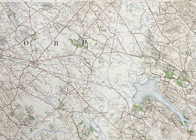
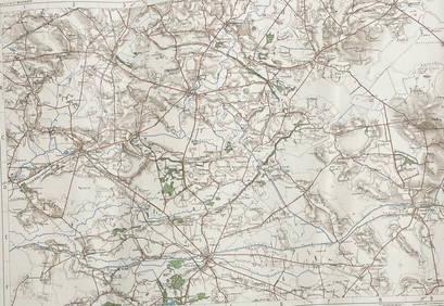
Quantity of Ordnance Survey and other folding maps,
You May Also Like


Similar Sale History
Sold

Sold

Sold

Sold

Sold

Sold

Sold

Sold

Sold


Sold

Sold
Sold

Sold
Sold

Sold
Sold

Sold

Sold

Sold

Sold

![Ordnance Survey of Scotland. Sheet 24. [Peeblesshire] (1 of 1)](https://p1.liveauctioneers.com/5584/168246/84824619_1_x.jpg?height=282&quality=70&version=1589321827)
Sold


Upcoming Sales
View All


TOP