Carte Generale de L
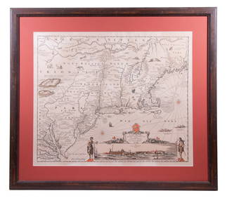
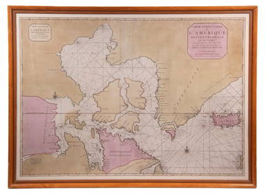
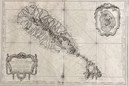
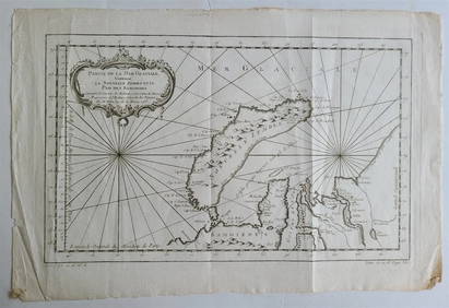
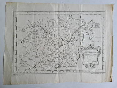
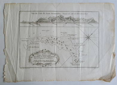
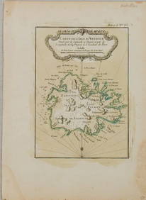
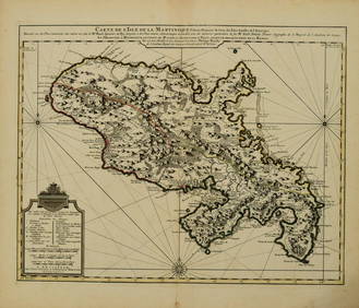
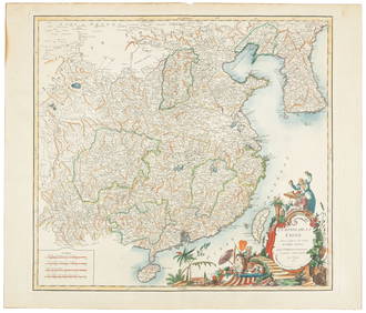
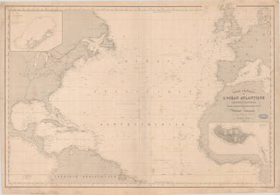
LARGE EARLY 18TH C. DUTCH CHART OF UPPER NORTH AMERICA, PIERRE MORTIER (1661-1711), FRAMEDFeb 24, 2024After Eustache Herisson (French 1759-1816)Feb 24, 2024Map of St. Kitts and Nevis Depot de la Marine, Paris, 1758Mar 03, 20241758 MAP PARTIE DE LA MER GLACIALE contenants La Nouvelle Zemble RUSSIA antiqueFeb 27, 20241749 MAP CARTE DE LA TARTARIE ORIENTALE RUSSIA & CHINA antique EASTERN TARTARYFeb 27, 20241760 MAP CARTE PARTICULIERE DE L'ISLE DE JUAN FERNANDES antique Robinson CrusoeFeb 27, 2024Railways & Transport.- [Prospectus] The Dorking, Brighton, and Arundel Atmospheric Railway, byFeb 29, 20241764 Bellin Map of Mari-Galante Near Guadeloupe -- Carte de l'Isle de Mari-GalanteFeb 27, 20241764 Bellin Map of St. Kitts -- Carte de l'Isle St. ChristopheFeb 27, 20241764 Bellin Map of Antigua -- Carte de l'Isle d'Antigue Situee par la Latitude 17 Degres et par laFeb 27, 20241845 Delisle/Bauche Map of Martinique -- Carte de l'Isle de la Martinique Colonie Francoise de l'uneFeb 27, 2024De Vaugondy map of ChinaMar 07, 2024Lapie map of N. America with independent TexasMar 07, 2024Coste Orientale d’Afrique…' South Africa. Mozambique channel. BELLIN 1746 mapFeb 28, 2024Coste Occidentale d’Afrique…' West Africa. Gulf of Guinea. BELLIN 1746 mapFeb 28, 2024Carte de l'Afrique propre, de la Numidie… North Africa. LAPIE 1829 old mapFeb 28, 2024Carte de L'Algérie et de la Régence de Tunis' ANDRIVEAU-GOUJON Algeria 1850 mapFeb 28, 2024L'Afrique Françoise ou du Senegal'. French West Africa. DE L’ISLE 1727 mapFeb 28, 2024CARTE GENERALE DE L' ILE DE SARDAIGNE / PARIS 1889Feb 26, 2024MAP, Barbados, BellinMar 12, 2024MAP, North Atlantic, RobiquetMar 12, 2024MAP, England, JaillotMar 12, 2024MAP, Sicily, DelisleMar 12, 2024MAP, India, AnvilleMar 12, 2024 





![Railways & Transport.- [Prospectus] The Dorking, Brighton, and Arundel Atmospheric Railway, by (1 of 1)](https://p1.liveauctioneers.com/5458/319736/171654703_1_x.jpg?height=282&quality=70&version=1708010439)







![Railways & Transport.- [Prospectus] The Dorking, Brighton, and Arundel Atmospheric Railway, by (1 of 1)](https://p1.liveauctioneers.com/5458/319736/171654703_1_x.jpg?height=282&quality=70&version=1708010439)


