

Popular Searches
Popular Searches

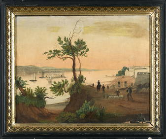
19TH C. MAP OF NEW YORK Framed map of Lower Manhattan,
You May Also Like


Similar Sale History
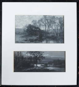
Sold

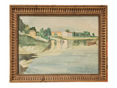
Sold

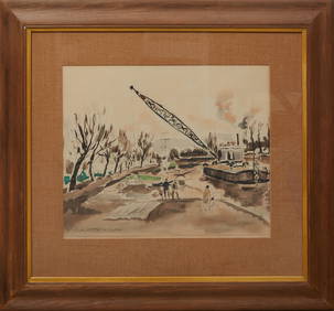
Sold

Sold

Sold

Sold

Sold

Sold

Sold

Sold

Sold


Sold


Sold

Sold

Sold

Sold

Sold

Sold


Sold

Sold


Upcoming Sales
View All


TOP