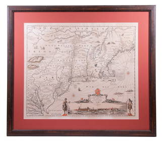
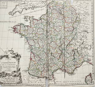
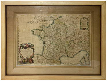
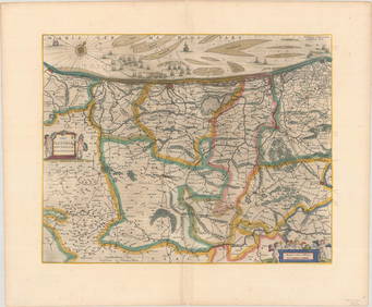
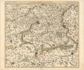
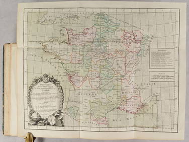
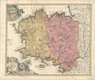
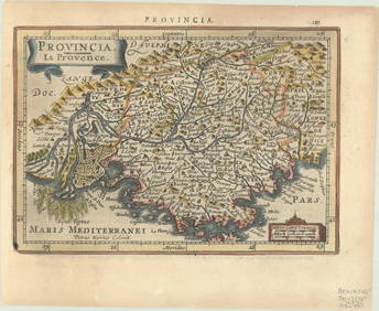
Mercator/Hondius: Antique Map of France, 1640
17TH C. ANTIQUE MAP SIEGE OF LA ROCHELLE, FRANCE, FRAMEDFeb 24, 2024Framed Hand Colored Antique Map of the Department of Nord, FranceMar 04, 2024LARGE ANTIQUE MAP FRANCE CENTRAL REGIONMar 10, 2024D'Entrecasteaux - Tasmania, Australia: Map of the Northern Portion of Recherche Bay. 5Feb 24, 2024D'Entrecasteaux - Map of Australia (New Holland), New Zealand, and southern Asia and surroundingFeb 24, 2024Bougainville's 1766 circumnavigation. France-Africa-Réunion. GENTS MAG 1774 mapFeb 28, 2024Bougainville's 1766 circumnavigation. France-Africa-Réunion. GENTS MAG 1774 mapFeb 28, 2024Robert De Vaugondy - Antique Map of FranceFeb 28, 2024Antique Map of France, 1703 by Gillaume Del Isle PrintMar 14, 2024MAP, Low Countries, BlaeuMar 12, 2024MAP, Low Countries, VisscherMar 12, 2024MAP, Rhine River, MunsterMar 12, 2024MAP, France, JodeMar 12, 2024MAP, France, LotterMar 12, 2024MAPS IN BOOK, France, Brion de la TourMar 12, 2024MAP, France, SansonMar 12, 2024MAP, France, ValckMar 12, 2024MAP, France, HomannMar 12, 2024MAP, France, BlaeuMar 12, 2024MAP, France, WitMar 12, 2024MAP, France, MercatorMar 12, 2024MAP, France, FerMar 12, 2024MAP, France, WaghenaerMar 12, 2024MAP, Africa, DunlopMar 12, 2024 