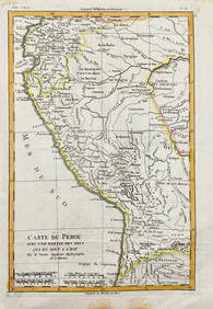
Bonne: Antique Map of French Guyana & Surinam, 1727
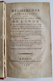
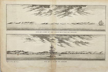
18TH C. ANTIQUE MAP: FRENCH & INDIAN WAR, FRAMEDFeb 24, 2024Battle of the Nile: Disposition of the English & French Fleets, at the Commencement of the Action,Feb 24, 2024CENTRAL EAST AFRICA French Belgian Congo British German Kenya Tanzania 1909 mapFeb 28, 2024AFRICA. French West Africa. Rio de Oro Rio Muni Nigeria. BARTHOLOMEW 1952 mapFeb 28, 2024Morocco Algeria. French & Spanish West Africa. Sahara sand dunes. TIMES 1956 mapFeb 28, 2024FRENCH WEST AFRICA. Afrique Occidentale Française. Saint-Louis, Senegal 1931 mapFeb 28, 2024COLONIAL FRENCH NORTH AFRICA. Afrique du Nord. Politique. Political 1929 mapFeb 28, 2024Colonial Africa. British German French Spanish Portuguese Italian TIMES 1900 mapFeb 28, 2024FRENCH WEST AFRICA. Afrique Occidentale Française. Saint-Louis, Senegal 1938 mapFeb 28, 2024États du Roi de Maroc… d’Alger, Tunis & Tripoli. North Africa. BONNE 1790 mapFeb 28, 2024Le Canal de Mosambique, l'Isle de Madagascar… Mozambique. Africa. BONNE 1788 mapFeb 28, 2024FRENCH WEST AFRICA. Afrique Occidentale Française. Saint-Louis, Senegal 1929 mapFeb 28, 2024FRENCH COLONIAL GUINEA. Guinee Française. Conakry city town ville plan 1931 mapFeb 28, 2024FRENCH WEST AFRICA Nigeria Gold Coast Rio de Oro Portuguese Guinea 1912 mapFeb 28, 2024AFRICA. French North Africa and Morocco 1907 old antique map plan chartFeb 28, 2024Egypte, Nubie et Abissinie. Egypt, Nubia & Abyssinia. Sudan. BONNE 1788 mapFeb 28, 2024L'Afrique Françoise ou du Senegal'. French West Africa. DE L’ISLE 1727 mapFeb 28, 2024Lithograph After Wyeth & MapMar 01, 20241792 OLD INDIA HISTORY ANTIQUE ILLUSTRATED WITH MAPS OF THE EIGHTEENTH CENTURY IN FRENCHMar 03, 2024Jacques Nicolas Bellin - Antique Map - Vue de la Rade de Tiniam, double antique coast view of theFeb 28, 2024Rigobert Bonne - Antique Map of PeruFeb 28, 2024MAP, Guyana, JanssonMar 12, 2024MAP, Guyana, MalletMar 12, 2024MAP, Guyana, BellinMar 12, 2024 