


Popular Searches
Popular Searches

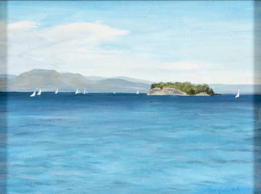
Map of French and English Grants on Lake Champlain
You May Also Like


Similar Sale History
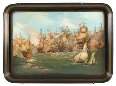
Sold

Sold

Sold

Sold

Sold

Sold

Sold

Sold

Sold

Sold

Sold

Sold

Sold


Sold

Sold

Sold

Sold

Sold


Sold

Sold


Upcoming Sales
View All
![[NEW YORK STATE]. Scrapbook of photographs of Lake George a... (1 of 5)](https://p1.liveauctioneers.com/928/318880/171361558_1_x.jpg?height=282&quality=70&version=1707501302)


TOP