

Popular Searches
Popular Searches

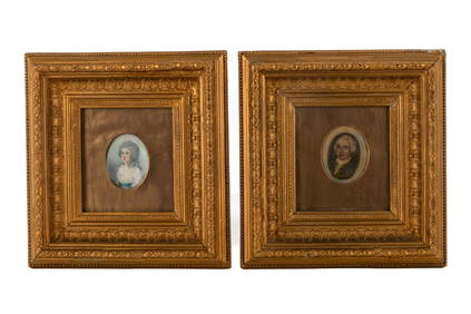
18TH C MAP OF DENMARK, IN SEE THROUGH FRAME, NICE
You May Also Like


Similar Sale History
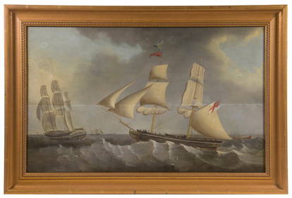
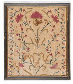
Sold


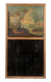
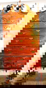
Sold

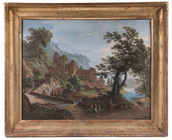
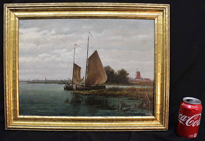
Sold

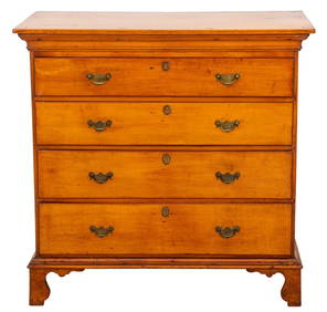
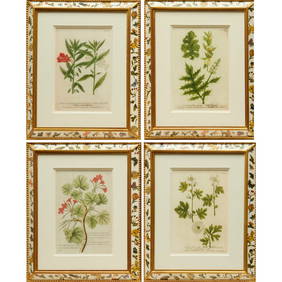
Sold

Sold

Sold


Sold

Sold

Sold

Sold


Sold

Sold

Sold

Sold

Sold

Sold

Sold

Sold

Sold

Sold


Upcoming Sales
View All


TOP