


Popular Searches
Popular Searches

Rapkin, John 1858 Map of The Baltic Sea. After Tallis
You May Also Like


Similar Sale History
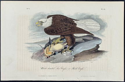
Sold

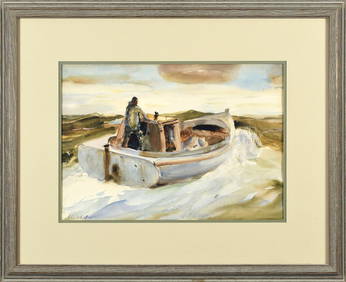
Sold

Sold

Sold

Sold

Sold

Sold

Sold

Sold

Sold

Sold

Sold

Sold

Sold

Sold

Sold

Sold

Sold

Sold

Sold


Sold

Sold


Upcoming Sales
View All


TOP