

Popular Searches
Popular Searches

Lyttleton, George 1810 HC Map of Walcheren Netherlands
You May Also Like


Similar Sale History
Sold

Sold

Sold

Sold

Sold

Sold

Sold

Sold

Sold

Sold

Sold

Sold

Sold


Sold

Sold

Sold


Sold

Sold

Sold

Sold


Upcoming Sales
View All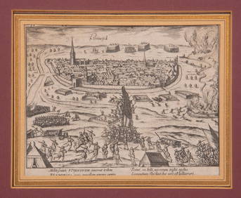


TOP