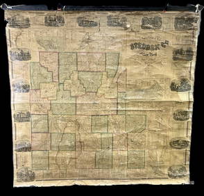
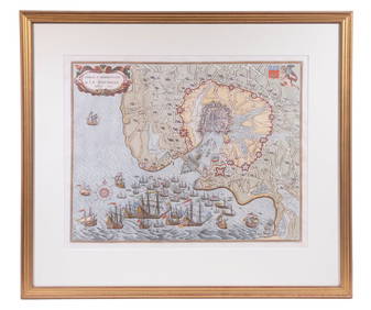
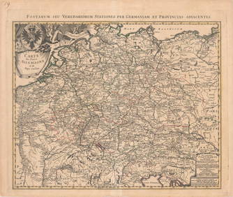
Orr & Company Antique Map of Central Germany
17TH C. ANTIQUE MAP SIEGE OF LA ROCHELLE, FRANCE, FRAMEDFeb 24, 2024LARGE ANTIQUE MAP FRANCE CENTRAL REGIONMar 10, 2024CENTRAL EAST AFRICA French Belgian Congo British German Kenya Tanzania 1909 mapFeb 28, 2024NORTH & COLONIAL WEST AFRICA. Nigeria marked as "Royal Niger Company" 1898 mapFeb 28, 2024AFRICA. European Possessions in Central; map of Zanzibar 1907 old antiqueFeb 28, 2024Africa. Congo Free Trade Area. British South Africa Company. STANFORD 1896 mapFeb 28, 2024Central Africa. Congo Free State Rhodesia German East Africa. STANFORD 1896 mapFeb 28, 2024WEST CENTRAL AFRICA. Congo Angola Gabon Cameroon Sao Tome. MALLET 1683 old mapFeb 28, 2024Africa. Congo Free Trade Area. British South Africa Company. STANFORD 1894 mapFeb 28, 2024Central Africa. Map showing great forest traversed by Mr Stanley, 1890Feb 28, 2024Cooke, George 1801 Antique Map. Prussia GermanyMar 01, 2024Cooke, George 1801 Antique Map. Germany divided into CirclesMar 01, 2024Johnson & Exley 1812 Antique Map. GermanyMar 01, 2024Blackie (Pub) 1882 Folio Map. West India Islands & Central AmericaMar 01, 20241849 Orr & Co. Hand Colored Southern Germany MapMar 02, 2024Theodor Fischer (1862 - 1938) - Set of 4 Bird Prints - Haliaetos Albicilla - Strix LapponicaFeb 28, 2024Theodor Fischer (1862 - 1938) - Set of 4 Bird Prints - Pernis Apivorus - Falco ArcticusFeb 28, 2024J. Lodge - Antique Map of GermanyFeb 28, 2024MAP, California, SoCal Edison Co.Mar 12, 2024MAP, Germany, CoronelliMar 12, 2024MAP, Germany, HomannMar 12, 2024MAP, Germany, BlaeuMar 12, 2024MAP, Germany, Homann HeirsMar 12, 2024MAP, Asia, WitMar 12, 2024 