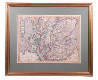
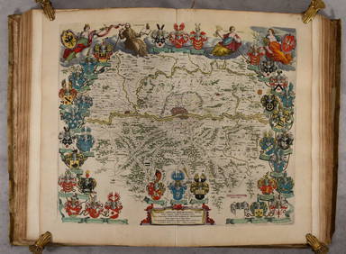
MAP - Eastern Scotland. Blaeu
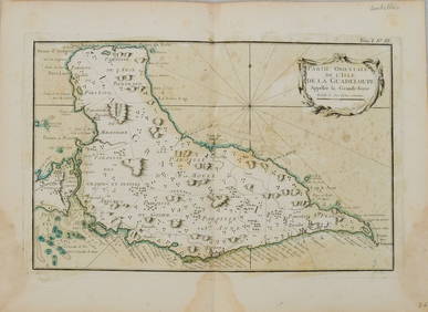
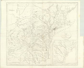
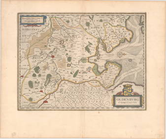
LATE 16TH C. MAP OF SCOTLAND BY MERCATOR, FRAMEDFeb 24, 2024Embroidered Map of ScotlandMar 02, 2024Map: A 17thC engraved and hand coloured map of Scotland titled Strath-Navernia / Strath Navern afterFeb 26, 2024VARIOUS ARTISTS [BRITISH TRAVEL GUIDES]. Group of 6 map booklets and flyers. 1930s.Feb 29, 20241764 Bellin Map of Eastern Guadeloupe in the Lesser Antilles -- Partie Orientale de l'Isle de laFeb 27, 2024Eastern Sahara. Africa. Libya Niger Algeria Chad Nigeria 1885 old antique mapFeb 28, 2024Cooke, George 1801 Antique Map. ScotlandMar 01, 2024Stanford, Edward 1901 Large Map. ScotlandMar 01, 2024Starling, Thomas 1838 Map of ScotlandMar 01, 2024MAP, Eastern US, StockdaleMar 12, 2024MAP, England, BlaeuMar 12, 2024MAP, Scotland, BlaeuMar 12, 2024MAP, Scotland, BlaeuMar 12, 2024MAP, Belgium, BlaeuMar 12, 2024MAP, France, BlaeuMar 12, 2024MAP, Germany, BlaeuMar 12, 2024MAP, Germany, BlaeuMar 12, 2024MAP, Germany, BlaeuMar 12, 2024MAP, Germany, BlaeuMar 12, 2024MAP, Germany, BlaeuMar 12, 2024MAP, Germany, BlaeuMar 12, 2024MAP, Austria, BlaeuMar 12, 2024MAP, Italy, BlaeuMar 12, 2024MAPS IN BOOK, Atlases, BlaeuMar 12, 2024 



![VARIOUS ARTISTS [BRITISH TRAVEL GUIDES]. Group of 6 map booklets and flyers. 1930s. (1 of 2)](https://p1.liveauctioneers.com/199/319703/171640571_1_x.jpg?height=282&quality=70&version=1707943705)









![VARIOUS ARTISTS [BRITISH TRAVEL GUIDES]. Group of 6 map booklets and flyers. 1930s. (1 of 2)](https://p1.liveauctioneers.com/199/319703/171640571_1_x.jpg?height=282&quality=70&version=1707943705)


