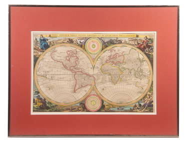
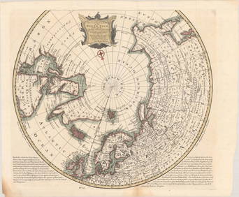
MAP - Polar. Kircher
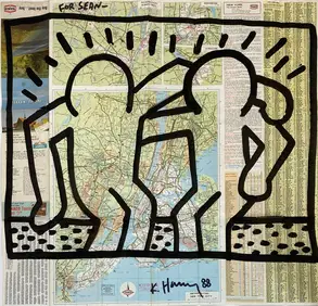
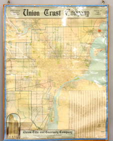
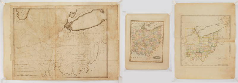
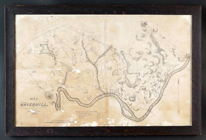
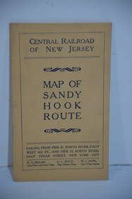
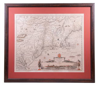
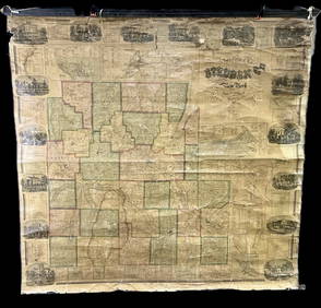
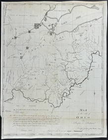
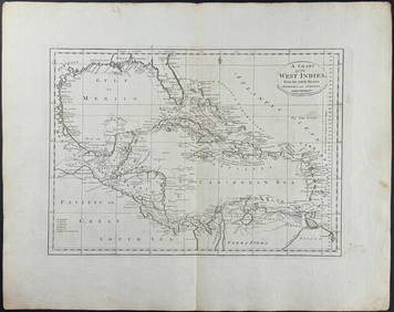
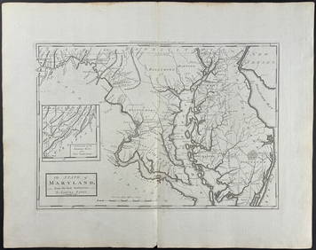
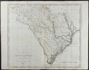
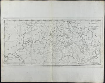
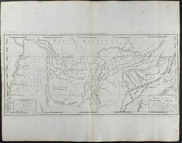
Central Railroad of New Jersey Map of Sandy Hook Route-ca. 1903Feb 24, 2024Union Trust Co. Map of DetroitMar 02, 2024LATE 17TH C. FRENCH MAP OF THE NEW WORLD BY ALEXIS-HUBERT JAILLOT (1632-1712)Feb 24, 202418TH C. ANTIQUE MAP: FRENCH & INDIAN WAR, FRAMEDFeb 24, 2024Vintage Polar Bear Rug TaxidermyMar 14, 2024Polar Bear Shoulder Mount TaxidermyMar 16, 20241832 MAP of HAVERHILL MASSFeb 24, 2024Inuit Carved Soapstone Sculpture Hunter Polar BearFeb 24, 2024Keith Haring - Ink on New York Map, Best Buddies, Inscribed, Signed, and DatedMar 02, 2024Rand McNally Railroad Map Cabinet w/ 21 Railroad MapsMar 08, 2024Tim Pee Inuit Soapstone Polar Bear SculptureMar 17, 2024Putnam - First Map of the State of Ohio by Rufus PutnamFeb 24, 2024Carey, pub. 1796 - A Chart of the West IndiesFeb 24, 2024Carey, pub. 1796 - Map of the State of MarylandFeb 24, 2024Carey, pub. 1796 - Map of GeorgiaFeb 24, 2024Carey, pub. 1796 - Map of The State of South CarolinaFeb 24, 2024Carey, pub. 1796 - Map of KentuckyFeb 24, 2024Carey, pub. 1796 - Map of the Tennassee State formerly part of North Carolina (Tennessee)Feb 24, 2024Gray's Atlas Map of North AmericaFeb 27, 2024Mexico, Central America, and the West Indies.Feb 27, 2024West Indies. Rand, McNally & Co.'S Indexed Atlas Map of the West Indies.Feb 27, 20243 MapsMar 02, 2024MAP, North Pole, BowenMar 12, 2024MAP, Pacific Ocean, U.S. War Dept.Mar 12, 2024 