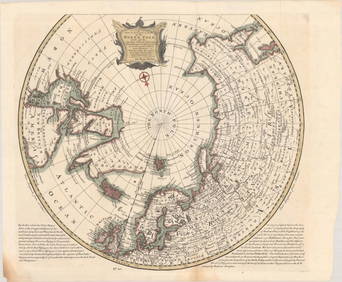
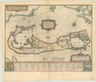
MAPS - Polar. Hondius
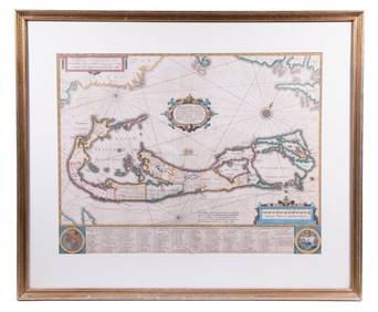
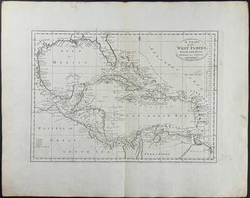
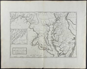
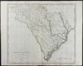
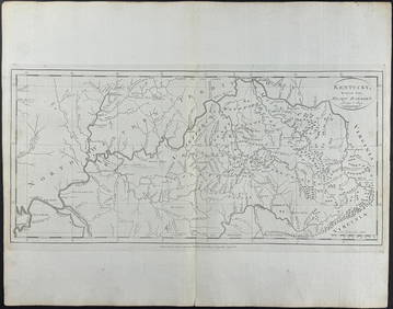
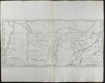
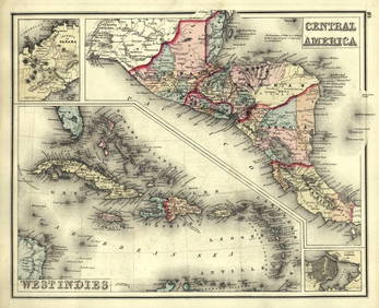
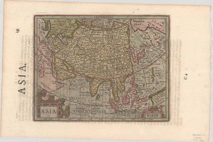
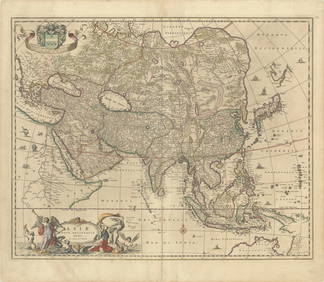
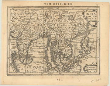
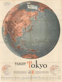
RARE 1638 HONDIUS MAP OF BERMUDA, FRAMEDFeb 24, 2024Carey, pub. 1796 - A Chart of the West IndiesFeb 24, 2024Carey, pub. 1796 - Map of the State of MarylandFeb 24, 2024Carey, pub. 1796 - Map of GeorgiaFeb 24, 2024Carey, pub. 1796 - Map of The State of South CarolinaFeb 24, 2024Carey, pub. 1796 - Map of KentuckyFeb 24, 2024Carey, pub. 1796 - Map of the Tennassee State formerly part of North Carolina (Tennessee)Feb 24, 20241636 MAP of SWITZERLAND DAS WIFISPURGERGOU antique 15 by 19"Feb 27, 2024Gray's Atlas Map of North AmericaFeb 27, 2024Mexico, Central America, and the West Indies.Feb 27, 2024West Indies. Rand, McNally & Co.'S Indexed Atlas Map of the West Indies.Feb 27, 2024MAP, North Pole, BowenMar 12, 2024MAP, Chile, HondiusMar 12, 2024MAP, Bermuda, HondiusMar 12, 2024MAPS, England & Wales, MercatorMar 12, 2024MAP, Ireland, MercatorMar 12, 2024MAP, Sweden, HondiusMar 12, 2024MAP, Spain, MercatorMar 12, 2024MAP, Germany, BlaeuMar 12, 2024MAP, Asia, HondiusMar 12, 2024MAP, Asia, VisscherMar 12, 2024MAP, Southern Asia, MercatorMar 12, 2024MAP, Pacific Ocean, U.S. War Dept.Mar 12, 2024ENGRAVING, Portrait, HondiusMar 12, 2024 