SDUK: Antique Map of North Ireland, 1845
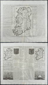
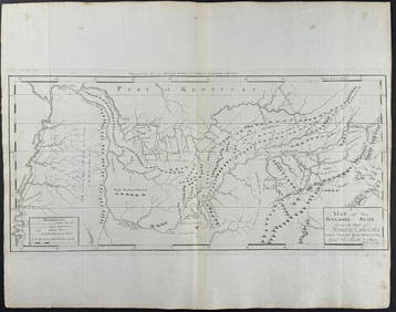
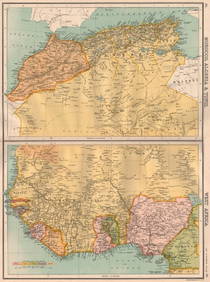
Chatelain - 3 Maps of IrelandFeb 24, 2024Arrowsmith & Lewis - Map of North AmericaFeb 24, 2024Carey, pub. 1796 - Map of the Tennassee State formerly part of North Carolina (Tennessee)Feb 24, 2024Audubon, Imperial Folio - 4 Lithographs of Squirrel, Rat, MiceFeb 24, 2024Audubon, Imperial Folio - American Cross Fox. 6Feb 24, 2024Audubon, Imperial Folio - Canada Lynx. 16Feb 24, 2024Morocco, Algeria, Tunisia & Libya. North Africa. HUGHES 1876 old antique mapFeb 28, 2024WEST AFRICA Explorers' routes Senegal Ashanti. Mountains of Kong. SDUK 1857 mapFeb 28, 2024NORTH & WEST AFRICA. Sahara Niger river 'Zaara ou le Desert'. MALLET 1683 mapFeb 28, 2024AFRICA. Map pre-dating much exploration. Mountains of Kong. SDUK 1851 oldFeb 28, 2024NORTH AFRICA OF BABRBARY V Parts of Tripoli & Egypt. Libya Tribes. SDUK 1846 mapFeb 28, 2024NORTH & COLONIAL WEST AFRICA. Nigeria marked as "Royal Niger Company" 1898 mapFeb 28, 2024NORTH AFRICA BARBARY. Parts of Tripoli (Libya) & Egypt. Tribes. SDUK 1844 mapFeb 28, 2024NORTH AFRICA. 'Biledulgerid', a former North African country. MALLET 1683 mapFeb 28, 2024NORTH AFRICA BARBARY. Parts of Tripoli (Libya) & Egypt. Tribes. SDUK 1844 mapFeb 28, 2024NORTH AFRICA OF BABRBARY V Parts of Tripoli & Egypt. Libya Tribes. SDUK 1851 mapFeb 28, 2024NORTH AFRICA BARBARY. Parts of Tripoli (Libya) & Egypt. Tribes. SDUK 1848 mapFeb 28, 2024AFRICA. French North Africa and Morocco 1907 old antique map plan chartFeb 28, 2024Afrique Ancienne. Ancient North Africa. MALTE-BRUN c1871 old antique map chartFeb 28, 2024Cooke, George 1801 Antique Map. North AmericaMar 01, 2024Cooke, George 1801 Antique Map. IrelandMar 01, 2024Blackie (Pub) 1882 Folio Map. United States of North AmericaMar 01, 2024Stanford, Edward 1901 Large Map. North PoleMar 01, 2024Hudson River Map & North American Postcards, 451 day Left 