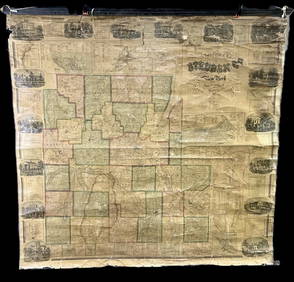
Colton: Antique Map of Mexico, 1859
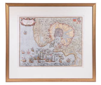
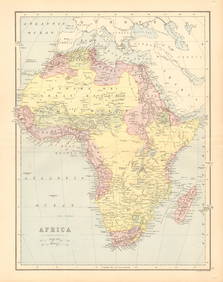
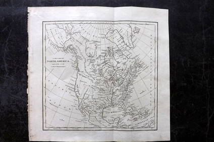
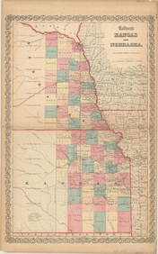
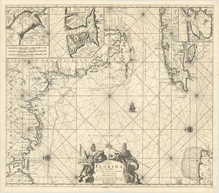
17TH C. ANTIQUE MAP SIEGE OF LA ROCHELLE, FRANCE, FRAMEDFeb 24, 202418TH C. ANTIQUE MAP: FRENCH & INDIAN WAR, FRAMEDFeb 24, 2024Framed Hand Colored Antique Map of the Department of Nord, FranceMar 04, 2024Mexico, Central America, and the West Indies.Feb 27, 2024AFRICA. Pre 'Scramble for Africa'. BARTHOLOMEW 1876 old antique map plan chartFeb 28, 2024West Africa. Liberia Sahara Senegambia Guinea. Mountains of Kong COLTON 1869 mapFeb 28, 2024North west Africa. Liberia inset. Sahara Senegambia Guinea. COLTON 1863 mapFeb 28, 2024Western Africa by Edward Weller. Early British/French settlements 1859 old mapFeb 28, 2024Cooke, George 1801 Antique Map. AfricaMar 01, 2024Cooke, George 1801 Antique Map. North AmericaMar 01, 2024Cooke, George 1801 Antique Map. United States of AmericaMar 01, 2024Cooke, George 1801 Antique Map. SwitzerlandMar 01, 2024Cooke, George 1801 Antique Map. Italy, Sicily, Sardinia & CorsicaMar 01, 2024Walker, John C1805 Antique Map. EuropeMar 01, 2024Francis McNally - Antique Map of Ohio, Indiana & KentuckyFeb 28, 2024Francis McNally - Antique Map of Washington, Oregon, Idaho, Nevada, Utah & ArizonaFeb 28, 2024Antique Map of Poland, 1700 by Guillaume De Lisle, ParisMar 14, 2024MAP, Kansas & Nebraska, ColtonMar 12, 2024MAP, Florida & Cuba, KeulenMar 12, 2024MAP, New York, HaywardMar 12, 2024MAP, US & Mexico, FerMar 12, 2024ENGRAVING, Mexico, GottfriedMar 12, 2024MAP, Mexico, SenexMar 12, 2024MAP, Gulf of Mexico, OrteliusMar 12, 2024 