

Popular Searches
Popular Searches

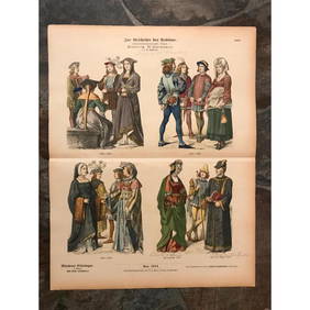
Three 17th century hand colored maps including: 1)
You May Also Like


Similar Sale History
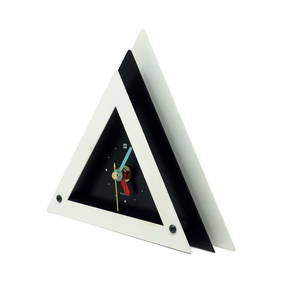
Sold

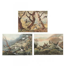
Sold

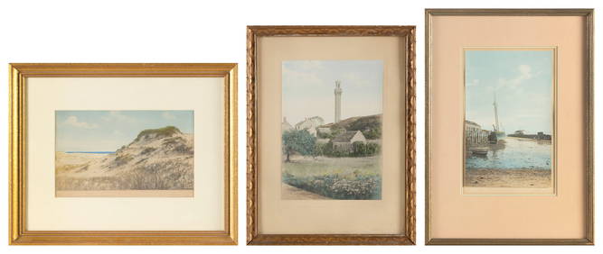
Sold

Sold

Sold


Sold


Sold

Sold

Sold

Sold

Sold

Sold

Sold

Sold

Sold

Sold

Sold

Sold

Sold

Sold

Sold


Upcoming Sales
View All


TOP