


Popular Searches
Popular Searches

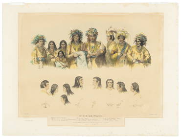
Northern Section of the United States including...
You May Also Like


Similar Sale History
Sold

Sold

Sold

Sold

Sold
![[United States]. Melish, John. Northern Section (1 of 1)](https://p1.liveauctioneers.com/179/1435/617540_1_x.jpg?height=282&quality=70)

Sold

Sold

Sold

Sold

Sold

Sold

Sold

Sold

Sold

Sold

Sold


Sold

Sold

Sold

Sold

Sold


Upcoming Sales
View All

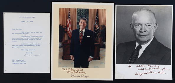

![[U.S. POLITICIANS]. Album of autographed letters and photog... (1 of 4)](https://p1.liveauctioneers.com/928/318880/171361015_1_x.jpg?height=282&quality=70&version=1707501302)
![[ENSLAVEMENT & ABOLITION]. A northern preacher's letters concerning teaching soldiers from the 15th (1 of 2)](https://p1.liveauctioneers.com/197/319238/171468120_1_x.jpg?height=282&quality=70&version=1707520367)
![[CIVIL WAR - UNITED STATES COLORED TROOPS]. A group of 4 documents related to officers of USCT and (1 of 4)](https://p1.liveauctioneers.com/197/319238/171468129_1_x.jpg?height=282&quality=70&version=1707520367)


TOP