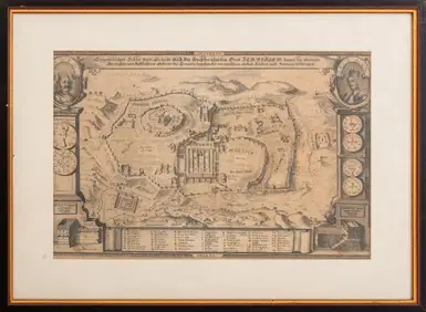
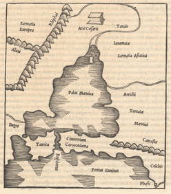
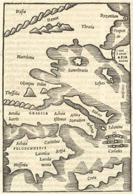
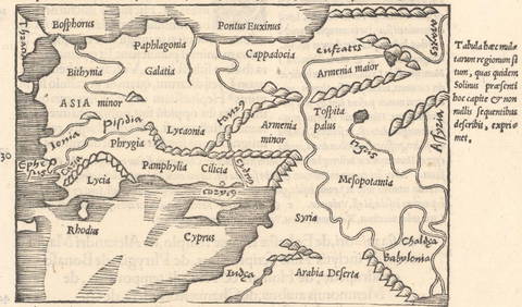
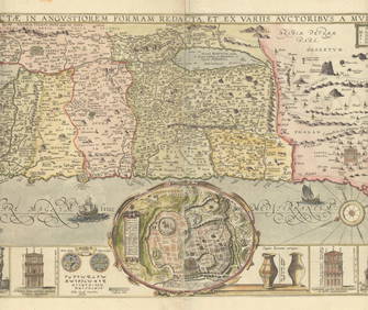
Map of the Holy Land. Sebastian Munster. Basle, 1544.
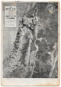
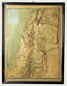
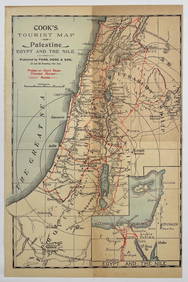
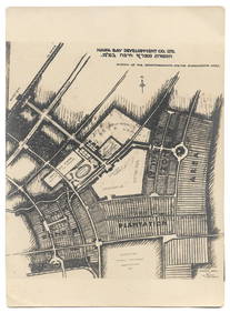
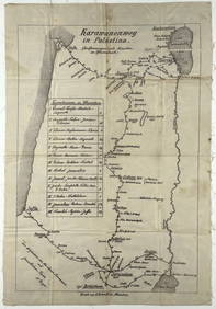
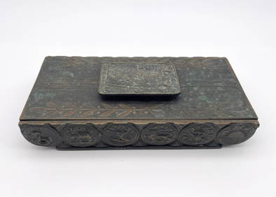
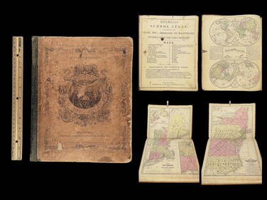
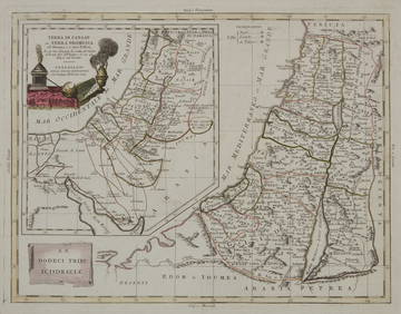
Eretz Israel Map Postcard - World Zionist OrganizationFeb 27, 2024Relief Map of Palestine - Topographic ModelFeb 27, 2024Relief Map of Jerusalem - Vester American ColonyFeb 27, 2024Palestine Tourist Map - Circa 19th CenturyFeb 27, 2024Jerusalem Map for British Soldiers in Palestine - WW2Feb 27, 2024Map of Jerusalem - Maximilian Romanov - 1936Feb 27, 2024Proposed Sportsground Map - Haifa, Palestine - 1926Feb 27, 2024Caravan Routes in Palestine Linen Map - Germany, 1881Feb 27, 2024Tourist Guide to the Holy Land - Belgium, 1876Feb 27, 2024The Holy Land Tours - Hamburg American Line - 1911Feb 27, 2024Pal Bell Box - 12 Tribes - Map of Eretz IsraelFeb 27, 20241849 Mitchell School ATLAS 24 MAPS America Holy Land France Africa Egypt AsiaMar 31, 20241872 Holy BIBLE & Hitchcock Analysis Gruden Concordance Theology MAPS Holy LandMar 31, 2024A 1785 Antonio Zatta map of the Holy landFeb 29, 2024Georg Bockler Map of Ancient Jerulsaem EtchingApr 07, 2024TWO ANTIQUE JEWISH NATIONAL FUND CHARITY BOXES. The first one made in Berlin c. 1920Apr 16, 2024Antique MapsMar 07, 2024MAP, Rhine River, MunsterMar 12, 2024MAP, Ukraine, SolinusMar 12, 2024MAP, Balkans, MunsterMar 12, 2024MAP, Greece, SolinusMar 12, 2024MAP, Greece, MunsterMar 12, 2024MAP, Middle East, SolinusMar 12, 2024MAP, Holy Land, TirinusMar 12, 2024 

