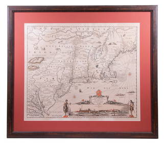
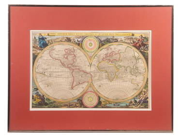
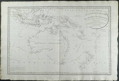
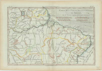
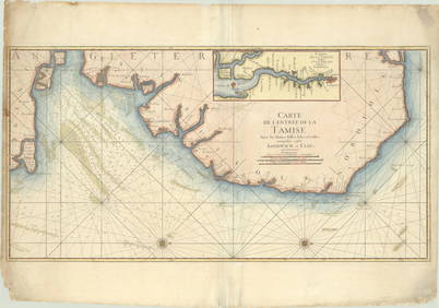
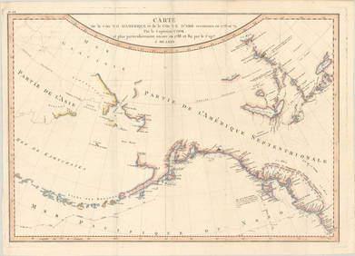
Carte de la Nouvelle Zéelande. New Zealand. Cook Strait. Thames. BONNE 1788 map
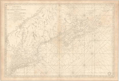
LARGE LATE 17TH C. DUTCH CHART OF CANADA, GREAT LAKES, NEW FRANCE, LABRADOR, HUDSON BAY, BY PIERREFeb 24, 2024RIGOBERT BONNE c1787 Original Colored Map Germany & Region 15" x 12"Mar 02, 2024D'Entrecasteaux - Map of Australia (New Holland), New Zealand, and southern Asia and surroundingFeb 24, 20241758 MAP PARTIE DE LA MER GLACIALE contenants La Nouvelle Zemble RUSSIA antiqueFeb 27, 2024Carte de la Guinée, contenant…'. Guinea & Cape Verde islands. BONNE 1771 mapFeb 28, 2024Coste Orientale d’Afrique…' South Africa. Mozambique channel. BELLIN 1746 mapFeb 28, 2024Royaumes, Etats et Pays de la Haute Guinée. Gulf of Guinea. BONNE 1788 old mapFeb 28, 2024Carte de la partie septentrionale d'Afrique, ou de la Barbarie… BONNE 1780 mapFeb 28, 2024Partie Occidentale de l’Afrique. West Africa coast Canary islands BONNE 1788 mapFeb 28, 2024Coste Orientale d’Afrique'. South Africa Mozambique BELLIN/SCHLEY 1747 mapFeb 28, 2024Carte de la Haute et de la Basse Guinée. Gulf of Guinea Africa. BONNE 1780 mapFeb 28, 2024La Basse-Guinée… Loango, Congo, AngoIa & Benguela Southern Africa BONNE 1788 mapFeb 28, 2024Coste Occidentale d’Afrique…' Namibia South Africa Angola coast BELLIN 1746 mapFeb 28, 2024Robert Benard (1734 - 1777) - Set of 9 Copperplate Engravings - Greek and Roman architecture - ViewFeb 28, 2024Robert Benard (1734 - 1777) - Set of 9 Copperplate Engravings - Architecture, Masonry, Quarry withFeb 28, 2024Robert Benard (1734 - 1777) - Set of 9 Chemical Engravings - Alchemical symbols - Utensils forFeb 28, 2024Jan Barend Elwe Indes Orientales 4 Maps 1792Mar 14, 2024MAP, World, FerMar 12, 2024MAP, US & Canada, SartineMar 12, 2024MAP, Boston, BellinMar 12, 2024MAPS, Brazil, BonneMar 12, 2024MAP, England, JaillotMar 12, 2024MAP, Hungary, ChatelainMar 12, 2024MAP, Pacific Ocean, MearesMar 12, 2024 