

Popular Searches
Popular Searches

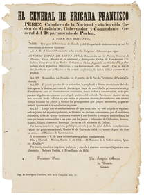
(2) FRAMED MAPS OF BAJA CALIFORNIA & OAXACA, MEXICO, 1922
You May Also Like


Similar Sale History
Sold


Sold

Sold


Sold

Sold


Sold

Sold

Sold

Sold


Sold

Sold

Sold

Sold

Sold

Sold

Sold

Sold

Sold

Sold


Upcoming Sales
View All


TOP