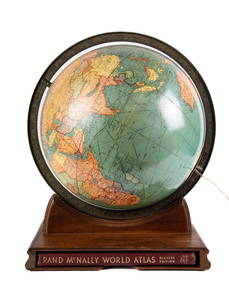
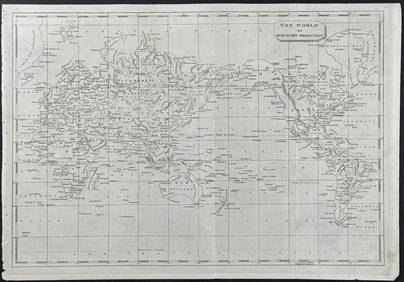
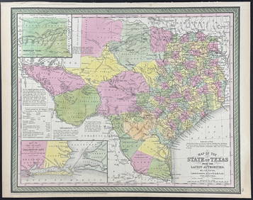
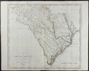
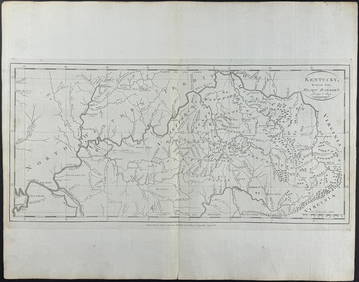
World Mercator's on projection. India in relation to the British Empire 1909 map
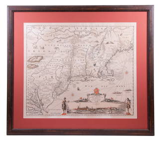
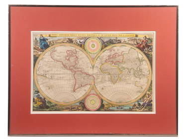
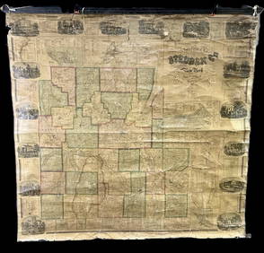
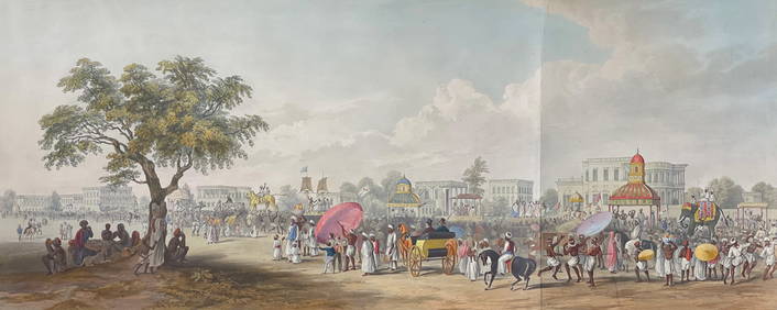
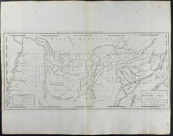
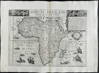
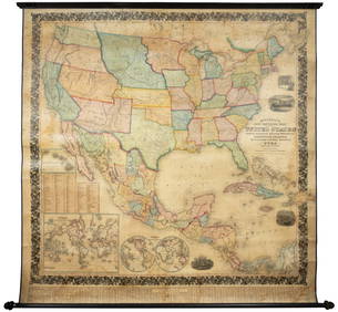
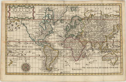
17TH C. WORLD MAP BY NICOLAES VISSCHER (NETHERLANDS, 1618-1709)Feb 24, 2024LATE 17TH C. FRENCH MAP OF THE NEW WORLD BY ALEXIS-HUBERT JAILLOT (1632-1712)Feb 24, 2024Jerusalem Map for British Soldiers in Palestine - WW2Feb 27, 202418 Booklets Collection - War Graves of Palestine - WWIFeb 27, 2024D'Oyly (Calcutta, India) - Government House from St. Andrew's LibraryFeb 24, 2024D'Oyly (Calcutta, India) - Procession of the CurruckpoojaFeb 24, 2024Arrowsmith & Lewis - Map of the World on Mercator's ProjectionFeb 24, 2024Mitchell - Map of TexasFeb 24, 2024Carey, pub. 1796 - Map of GeorgiaFeb 24, 2024Carey, pub. 1796 - Map of The State of South CarolinaFeb 24, 2024Carey, pub. 1796 - Map of KentuckyFeb 24, 2024Carey, pub. 1796 - Map of the Tennassee State formerly part of North Carolina (Tennessee)Feb 24, 2024De Jode, Rare, pub. 1593 - Map of Africa (Africae Vera Forma, et Situs)Feb 24, 20241834 Malte-Brun Map of the Caribbean -- West India IslandsFeb 27, 2024Large wall map of U.S. & Central AmericaMar 07, 2024Blackie (Pub) 1882 Folio Map. Chinese Empire and JapanMar 01, 2024Blackie (Pub) 1882 Folio Map. West India Islands & Central AmericaMar 01, 2024Blackie (Pub) 1882 Folio Map. World on Mercators ProjectionMar 01, 2024MAP, World, GraviusMar 12, 2024MAP, Alaska & Canada, WytflietMar 12, 2024ENGRAVING, Mexico, GottfriedMar 12, 2024MAPS, England & Wales, MercatorMar 12, 2024MAP, Southern Asia, MercatorMar 12, 2024MAP, Southern Asia, SansonMar 12, 2024 