

Popular Searches
Popular Searches

1640 c. Blaeu Map of Northeast Italy Centered on Urbino -- rom this remarkable and decorative atlas
You May Also Like


Similar Sale History


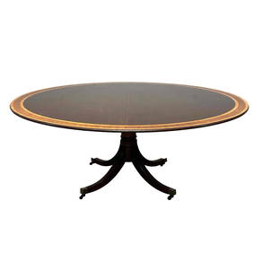
Sold

Sold

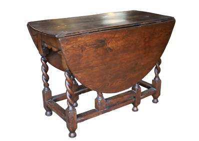
Sold

Sold

Sold

Sold

Sold

Sold

Sold


Sold

Sold


Sold

Sold


Upcoming Sales
View All


TOP