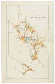
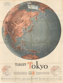
Two Maps from the U. S. Coast Survey, the first "Point
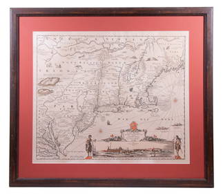
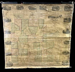
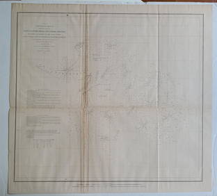
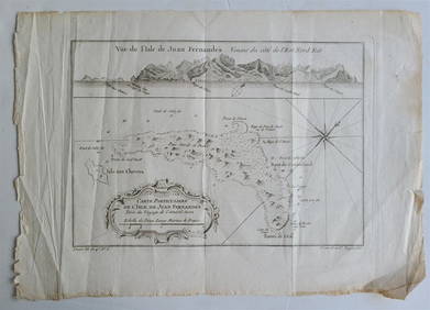
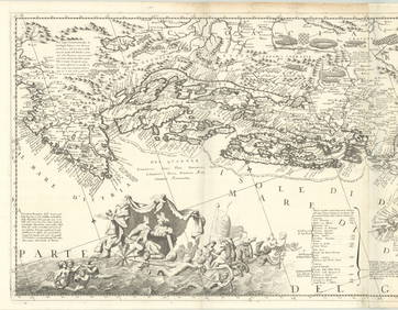
[MAP]. NICHOLLS, Sutton (1668-1729). An Epitome of Sr. Will...Mar 07, 20241852 CHART SHOWING POSITIONS of DAVIS'S SOUTH SHOAL & OTHER DANGERS antiqueFeb 27, 20241867 CHART OF GREENWICH BAY RHODE ISLAND antiqueFeb 27, 20241760 MAP CARTE PARTICULIERE DE L'ISLE DE JUAN FERNANDES antique Robinson CrusoeFeb 27, 2024Nicholas de Fer, Map of California of 1705Feb 29, 2024Quicksilver Deposits atlas 1887Mar 07, 2024Jacksonville Florida tourist ephemeraMar 07, 2024Whitney, Metallic Wealth of the U.S. 1st ed.Mar 07, 2024Reports from WWII Pacific Theatre 1941-2Mar 07, 2024Fanny Wright's travels in America, 1821Mar 07, 2024Two works by U.S. President John F. KennedyMar 07, 20241853 U.S. Reports w/ 42 maps and illustrationsMar 07, 2024Gulf of Guinea. Ghana Togo Benin Nigeria. ADMIRALTY sea chart 1928 (1954) mapFeb 28, 2024Near-Miniature Veracruz Pottery Vessels (4)Feb 26, 2024Two Teotihuacan Pottery Articulated Doll TorsosFeb 26, 2024Robert de Vaugondy - Map of Canada - Mer de l' Ouest or Sea of the West and a Northwest PassageFeb 28, 2024West Coast U.S. Vintage Travel Maps, Brochures 46Mar 06, 2024Chinese Qing Agate Bead - Face / TalismanFeb 26, 2024MAP, US & Canada, GavitMar 12, 2024MAP, Mid-Atlantic US, SauthierMar 12, 2024MAP, US, Florida, Greyhound Co.Mar 12, 2024MAP, US & Mexico, FerMar 12, 2024MAP, Balkans, CoronelliMar 12, 2024MAP, Pacific Ocean, U.S. War Dept.Mar 12, 2024 



![[MAP]. NICHOLLS, Sutton (1668-1729). An Epitome of Sr. Will... (1 of 1)](https://p1.liveauctioneers.com/928/318880/171361281_1_x.jpg?height=282&quality=70&version=1707501302)












![[MAP]. NICHOLLS, Sutton (1668-1729). An Epitome of Sr. Will... (1 of 1)](https://p1.liveauctioneers.com/928/318880/171361281_1_x.jpg?height=282&quality=70&version=1707501302)


