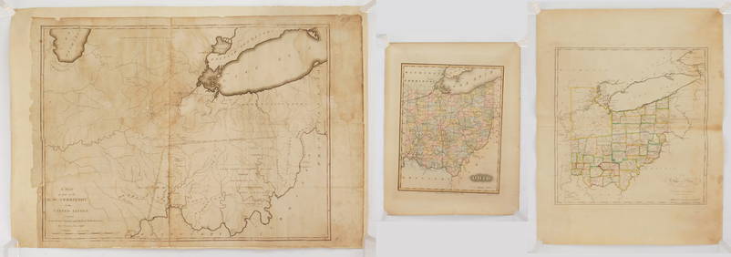
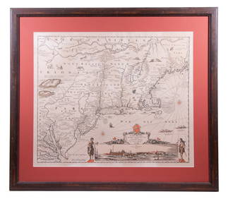
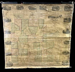
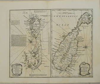
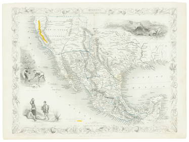
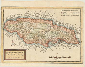
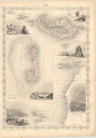
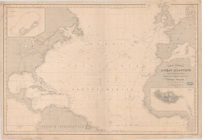
Tallis: Map of Islands of the Atlantic, 1853
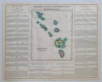
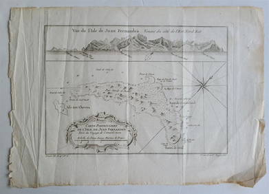
Emma Levinia Swan (RI,German,1853-1927) oil painting antiqueMar 10, 2024Cleveland and Mahoning RR 2nd Annual Report-December 20, 1854Feb 24, 20241853 Colton's Railroad & Township Map of Massachusetts, Rhode Island, and ConnecticutMar 07, 2024Vintage Framed Pine Island & Lacoste Island MapMar 06, 2024Bidjogo Bovine Mask Ex Dintenfass collection, NYMar 02, 20241822 MAP of LEEWARD ISLANDS GEOGRAPHICAL STATISTICAL HISTORICAL antique 17.5x22"Feb 27, 20241760 MAP CARTE PARTICULIERE DE L'ISLE DE JUAN FERNANDES antique Robinson CrusoeFeb 27, 20241750 Bowen Map of Bermuda and St. Kitts -- A New & Accurate Map of Bermudas or Sommer's Islands...Feb 27, 2024Map of Mexico, Central America, and the West IndiesFeb 27, 2024Tallis map of Texas, California & Mexico 1851Mar 07, 2024Original Map of Atlantic City 1887Mar 28, 2024Blackie (Pub) 1882 Folio Map. West India Islands & Central AmericaMar 01, 2024Modern Long Island mapFeb 26, 2024Vintage Framed Cat Island Nautical Map PrintFeb 25, 2024James Cook - Antique map Australia titled 'Gezigt van het Eil. Suffren'. Antique map of SuffrenFeb 28, 2024MAP, North Pole, AaMar 12, 2024MAP, US & Mexico, FerMar 12, 2024MAP, Jamaica, MollMar 12, 2024MAP, Atlantic Islands, TallisMar 12, 2024MAP, Azores, MerianMar 12, 2024MAP, North Atlantic, RobiquetMar 12, 2024MAP, Europe, TassinMar 12, 2024MAP, Sicily, DelisleMar 12, 20246 pcs Vintage Paper Maps. Vancouver Island, British Columbia. Upper Elk Creek Sheet. See pics.May 25, 2024 