St Vincent & "Barbadoes". Barbados. West Indies Caribbean. THOMSON 1830 map
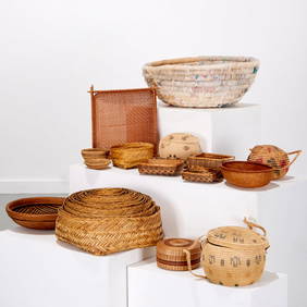
Carey, pub. 1796 - A Chart of the West IndiesFeb 24, 2024Carey, pub. 1796 - Map of the State of MarylandFeb 24, 2024Carey, pub. 1796 - Map of GeorgiaFeb 24, 2024Carey, pub. 1796 - Map of The State of South CarolinaFeb 24, 2024Carey, pub. 1796 - Map of KentuckyFeb 24, 2024Carey, pub. 1796 - Map of the Tennassee State formerly part of North Carolina (Tennessee)Feb 24, 2024Map of the West IndiesFeb 27, 2024West Indies Islands. Guadaloupe. | Mariegalante &C. | Antigua.Feb 27, 2024Map of Mexico, Central America, and the West IndiesFeb 27, 2024Johnson's West IndiesFeb 27, 2024West Indies and Central AmericaFeb 27, 2024Untitled. Gulf of Mexico, Western West IndiesFeb 27, 2024New and Correct Map of North America With the West India Islands,Feb 27, 2024West Indies Islands. St. VincentFeb 27, 2024Gray's Atlas Map of North AmericaFeb 27, 2024Geographical Statistical and Historical Map of the Windward IslandsFeb 27, 2024West Indies. South Coast of Jamaica from Port Royal to Pedro Bluff.Feb 27, 2024Map of Part of the West Indies, Etc., Showing the Exact Position Of The U.S. War Steamer SanFeb 27, 2024West Indies Islands. Martinico | Dominica.Feb 27, 2024West IndiesFeb 27, 2024Large map of the Americas 1794Mar 07, 2024Seale map of North America California an islandMar 07, 2024OLD MAP of the West Indies/ Carta Esperica/ 1804Feb 26, 2024Group Mexican, South American, & Caribbean basketsMar 06, 2024