

Popular Searches
Popular Searches

Jacques Nicolas Bellin - Antique Map - Vue de la Rade de Tiniam, double antique coast view of the
You May Also Like


Similar Sale History
Sold


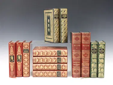
Sold


Sold

Sold

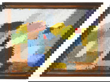
Sold


Sold

Sold
![[Bellin (Jacques-Nicolas)] Coste Occidentale D'Afr (1 of 0)](https://p1.liveauctioneers.com/dist/images/placeholder.jpg?height=282&quality=70)
Sold
Sold


Sold

Sold

Sold

Sold

Sold


Upcoming Sales
View All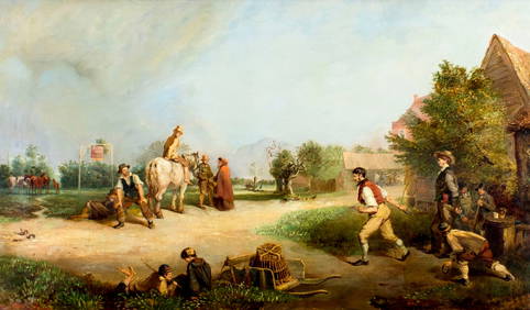


TOP