


Popular Searches
Popular Searches

ANTIQUE MAP, PERU, BY JOHN OGOLBY (1600-1676), GOO
You May Also Like


Similar Sale History
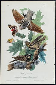
Sold

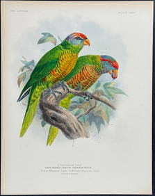
Sold

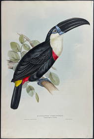
Sold

Sold

Sold


Sold

Sold

Sold

Sold


Sold

Sold

Sold

Sold

Sold

Sold

Sold
![[TRAVEL & EXPLORATION]. OGILBY, John (1600-1676), (1 of 2)](https://p1.liveauctioneers.com/197/168691/85058438_1_x.jpg?height=282&quality=70&version=1589391499)
Sold

Sold

Sold

Sold


Upcoming Sales
View All


TOP