

Popular Searches
Popular Searches

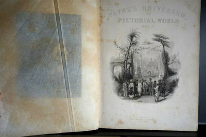
A collection of 47 engravings of ordnance survey maps
You May Also Like


Similar Sale History
Sold

Sold

Sold

Sold

Sold

Sold
Sold

Sold

Sold
Sold
Sold

Sold


Sold
Sold

Sold

Sold

Sold

Sold

Sold

Sold


Upcoming Sales
View All


TOP