Tanner's Map of Illinois 1836
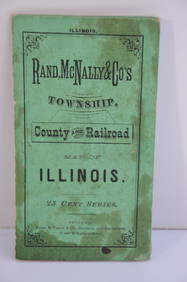
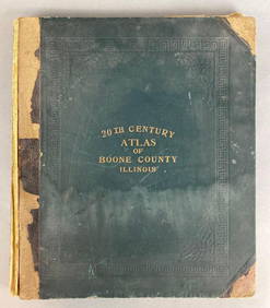
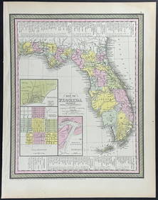
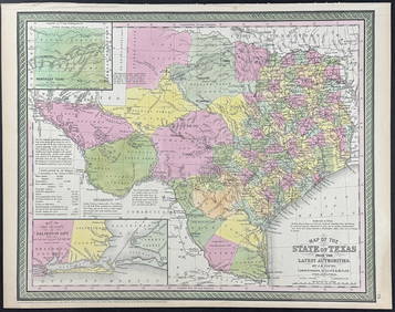
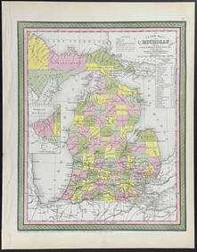
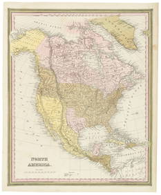
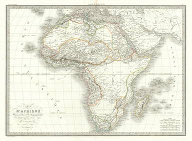
Chicago and Eastern Illinois RR Annual Reports-1878 to 1887Feb 24, 2024Rand McNally Township County and Railroad Map of Illinois-1879Feb 24, 2024Illinois Central RR October 2, 1901 Public TimetableFeb 24, 2024Illinois Central RR July 24, 1906 Western Lines Public TimetableFeb 24, 2024Early 1900's Railway Service Map, Illinois, Ohio, Indiana, Kentucky, TennesseeFeb 24, 2024Group of Ten Railroad Photographs, Maps, and Prints - New Jersey, Long Island, and New YorkMar 07, 2024[CHICAGO]. Rare Pre-Fire Illinois Map: “Blanchard’s Map of ...Mar 07, 20241861 County Map of IllinoisFeb 24, 2024Group of 20+ Vintage MapsFeb 24, 20241905 20th Century Atlas of Boone County IllinoisFeb 24, 2024Mitchell - Map of the City of Washington (Washington, DC)Feb 24, 2024Mitchell - Map of FloridaFeb 24, 2024Mitchell - Map of TexasFeb 24, 2024Mitchell - Map of MichiganFeb 24, 2024Colton/Smith Western Guide with map 1844Mar 07, 2024Colored lithograph of Chippeway chief 1836Mar 07, 2024Tanner's North America independent TexasMar 07, 2024Carte de la Barbarie… l'empire de Maroc… North Africa Morocco. LAPIE 1829 mapFeb 28, 2024Carte d'Afrique. Africa Soudan Zanzibar. LAPIE 1831 old antique map plan chartFeb 28, 2024Carte de l'Afrique propre, de la Numidie… North Africa. LAPIE 1829 old mapFeb 28, 2024Francis McNally - Antique Map of Illinois, Missouri & IowaFeb 28, 2024Monmouth, Illinois Vintage Topography MapFeb 28, 20241910 USGS Topographic Map of Iowa-IllinoisFeb 29, 2024Polyconic Projection Retractable Chicago MapMar 09, 2024 




![[CHICAGO]. Rare Pre-Fire Illinois Map: “Blanchard’s Map of ... (1 of 2)](https://p1.liveauctioneers.com/928/318880/171361260_1_x.jpg?height=282&quality=70&version=1707501302)








![[CHICAGO]. Rare Pre-Fire Illinois Map: “Blanchard’s Map of ... (1 of 2)](https://p1.liveauctioneers.com/928/318880/171361260_1_x.jpg?height=282&quality=70&version=1707501302)


