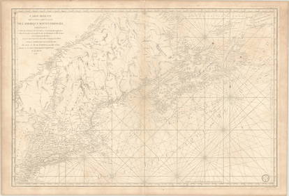
Early mention of United States on French map
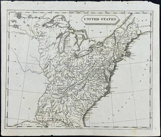
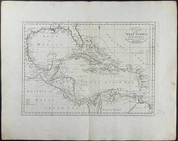
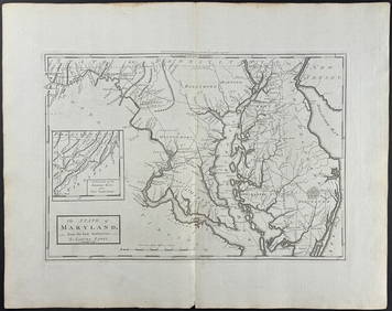
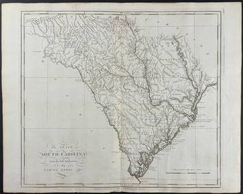
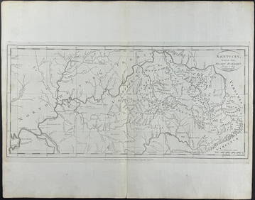
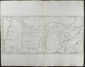
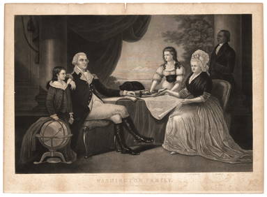
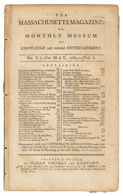
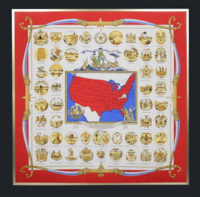
Arrowsmith & Lewis - Map of the United StatesFeb 24, 2024Carey, pub. 1796 - A Chart of the West IndiesFeb 24, 2024Carey, pub. 1796 - Map of the State of MarylandFeb 24, 2024Carey, pub. 1796 - Map of GeorgiaFeb 24, 2024Carey, pub. 1796 - Map of The State of South CarolinaFeb 24, 2024Carey, pub. 1796 - Map of KentuckyFeb 24, 2024Carey, pub. 1796 - Map of the Tennassee State formerly part of North Carolina (Tennessee)Feb 24, 2024Old French King Albert Sterling Silverware Set of 15 by Whiting Manf CoFeb 26, 2024Early United States Cream SeperatorMar 22, 2024Leadville CO mining atlas + text vol. 1883-86Mar 07, 2024French chronicler of Lafayette's journey to AmericaMar 07, 2024Rare engraved portraits of George WashingtonMar 07, 2024Coverage of George Washington inauguration 1789Mar 07, 20241853 U.S. Reports w/ 42 maps and illustrationsMar 07, 2024French Francis Picabia Oil Painting In Style ofMar 16, 2024S.A. French Steel Police Mechanical NipperMar 18, 2024Hermes Silk Scarf Yorktown CentennialMar 14, 202420th C. American Clarinet by Romain BraudeFeb 26, 2024MAP, US & Canada, SartineMar 12, 2024MAP, Eastern US, StockdaleMar 12, 2024MAPS IN REPORT, Eastern US, G.L.O.Mar 12, 2024MAP, Mid-Atlantic US, SauthierMar 12, 2024MAP, Guyana, BellinMar 12, 2024MAP, North Atlantic, RobiquetMar 12, 2024 
