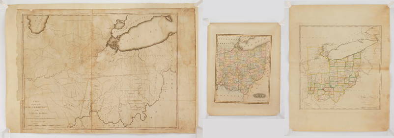
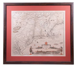
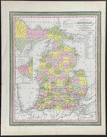
2 Hand Colored Maps - Michigan
MARTINET / DE VRIES Catechism of Nature 4 Vol. Set c1788 Engravings Rare!Mar 02, 202417TH C. ANTIQUE MAP SIEGE OF LA ROCHELLE, FRANCE, FRAMEDFeb 24, 2024EARLY 18TH C. MAP OF ITALY, FRAMEDFeb 24, 202418TH C. ANTIQUE MAP: FRENCH & INDIAN WAR, FRAMEDFeb 24, 202417TH C. ENGLISH LINEAR MAP BY OGILBY, FRAMEDFeb 24, 2024ABRAHAM ORTELIUS (1527-1598) MAP OF ROMAN GAUL (FRANCE)Feb 24, 2024NICOLAES VISSCHER (NETHERLANDS, 1618-1709) MAP OF THE NEW WORLDFeb 24, 2024Early 1900's Railway Service Map, Illinois, Ohio, Indiana, Kentucky, TennesseeFeb 24, 2024Willem Blaeu, Etc. 17th C. Antiquarian Maps, 2Mar 17, 2024Hand Colored Engraved Map of Europe, Jean Baptiste Bourguignon Anville 1754Mar 03, 2024Prideaux John Selby, "Common Coot" EtchingFeb 28, 2024Mitchell - Map of MichiganFeb 24, 2024Hamilton - Engraving of a Painting from a Grecian Vase. 2Feb 24, 2024Wilson - Wood Thrush, Red-breasted Thrush or Robin, & Nuthatches. 2Feb 24, 2024A 1785 Antonio Zatta map of the Holy landFeb 29, 2024Marcy's Red River with map folderMar 07, 2024Colton/Smith Western Guide with map 1844Mar 07, 2024Americas with Californa an island 1705Mar 07, 202415 Maps of North America 1st half of 19th centuryMar 07, 2024World map with Cook's routes 1786Mar 07, 2024Two Hand-Colored 19th Century Maps of New Orleans and Louisiana, Larger- H.- 12 1/2 in., W.- 15 1/2Mar 08, 20241849 Orr & Co. Hand Colored Southern Germany MapMar 02, 2024Map of Palestine, Antwerp, 1579Mar 07, 2024MAPS IN REPORT, Eastern US, G.L.O.Mar 12, 2024 