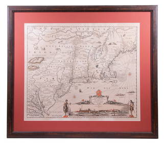
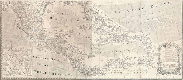
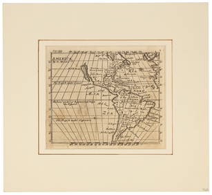
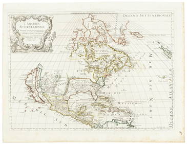
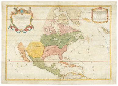
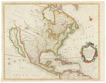
North and South America, with California an island 1676
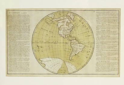
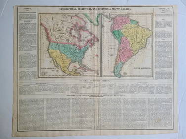
Emily Selinger (MA,CA,NC,RI,1848-1927) watercolor painting antiqueMar 10, 2024Al Barnes (1937-2015), A Meeting at the PointFeb 24, 2024The Rolling Stones Bridges To Babylon Tour Original Promotional PosterFeb 25, 2024Map: An 18thC engraved and hand coloured map of North America and South America, titled DeFeb 26, 20241822 MAP of NORTH & SOUTH AMERICA GEOGRAPHICAL STATISTICAL HISTORICAL antiqueFeb 27, 20241683 Sanson Map of the Caribbean -- Les Isles Antilles, &c Entre Lesquelles sont les Lucayes, et lesFeb 27, 2024New and Correct Map of North America With the West India Islands,Feb 27, 2024Mexico, Central America and the West IndiesFeb 27, 2024Mexico, Central America and West Indies Physical PoliticalFeb 27, 2024De l'Isle's influential map of Americas 1722Mar 07, 2024The Americas in 1596Mar 07, 2024Morden's America with California an islandMar 07, 2024Americas with Californa an island 1705Mar 07, 2024Weigel map of Americas Calif. an islandMar 07, 2024Philips' Atlas of Counties of EnglandMar 07, 2024Italian edition of Sanson's map of North America, 1677Mar 07, 2024Sanson/Jaillot map of North America 1719Mar 07, 2024Seale map of North America California an islandMar 07, 2024Map of United States of North America, 1785Mar 14, 2024MAP, World, DoppelmayrMar 12, 2024MAP, World, FerMar 12, 2024MAP, World, BaschlinMar 12, 2024MAP, Lesser Antilles, GoosMar 12, 2024MAP, Asia, SpeedMar 12, 2024 