


Popular Searches
Popular Searches

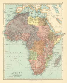
Antique Folio Atlas COMBINATION ATLAS MAP OF WALWORTH
You May Also Like


Similar Sale History
Sold

Sold

Sold

Sold

Sold

Sold

Sold

Sold

Sold

Sold

Sold

Sold

Sold

Sold

Sold

Sold

Sold

Sold
Sold
Sold

Sold
Sold
Sold

Upcoming Sales
View All


TOP