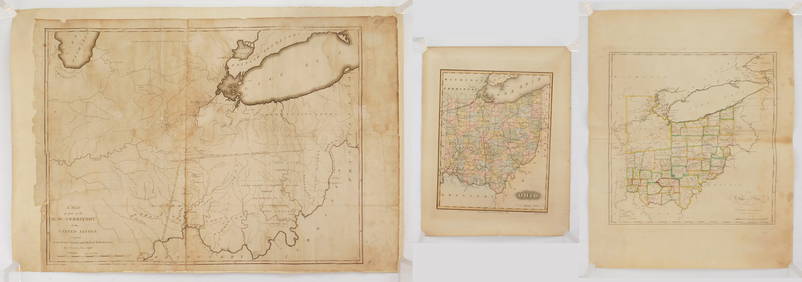
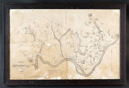
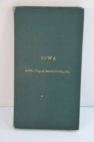
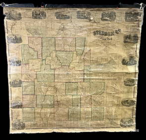
Atlas of the United States. County Map of North
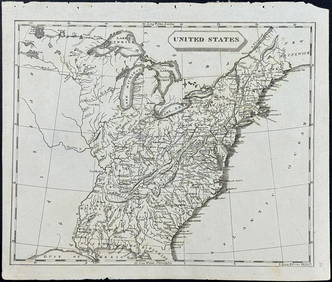
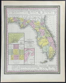
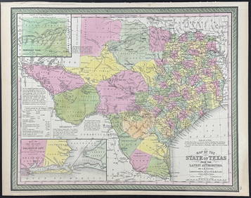
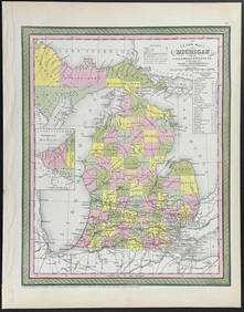
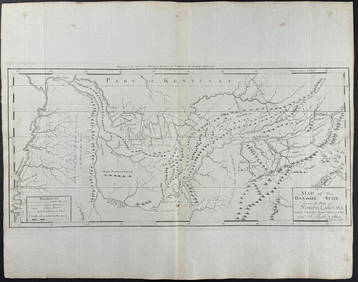
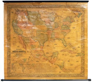
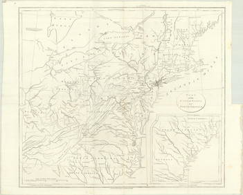
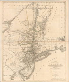
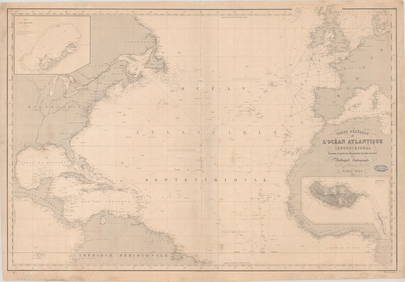
Rand McNally & Co's New Ideal State and County Survey and Atlas 1911Apr 20, 20241905 20th Century Atlas of Boone County IllinoisFeb 24, 2024Arrowsmith & Lewis - Map of the United StatesFeb 24, 2024Mitchell - Map of the City of Washington (Washington, DC)Feb 24, 2024Mitchell - Map of FloridaFeb 24, 2024Mitchell - Map of TexasFeb 24, 2024Mitchell - Map of MichiganFeb 24, 2024Carey, pub. 1796 - Map of the Tennassee State formerly part of North Carolina (Tennessee)Feb 24, 2024Putnam 1921 Atlas of the World in excellent conditionFeb 27, 2024Philips' Atlas of Counties of EnglandMar 07, 2024Texas Brags humorous pictorial mapMar 07, 2024Four U.S.G.S. Geologic Atlas foliosMar 07, 2024Large wall map of U.S. & Central AmericaMar 07, 2024Wall map of North America 1856Mar 07, 2024Blackie (Pub) 1882 Folio Map. West USA - Pacific StatesMar 01, 2024Blackie (Pub) 1882 Folio Map. United States of North AmericaMar 01, 2024Map of Yorktown - York County in Virginia - United StatesFeb 28, 2024Map of United States of North America, 1785Mar 14, 2024Books on American Interest, 8Apr 16, 2024MAP, Eastern US, StockdaleMar 12, 2024MAPS IN REPORT, Eastern US, G.L.O.Mar 12, 2024MAP, Mid-Atlantic US, SauthierMar 12, 2024MAP, North Atlantic, RobiquetMar 12, 2024Large Fossilized Tortoise Shell - Stylemys NebraskensisMar 01, 2024 