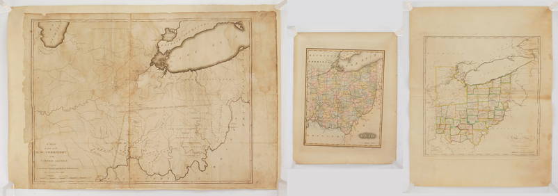
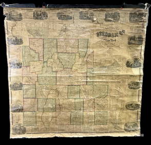
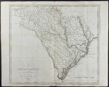
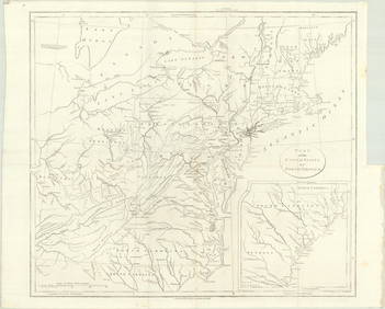
South Carolina Antique Hand Drawn Map
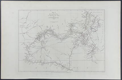
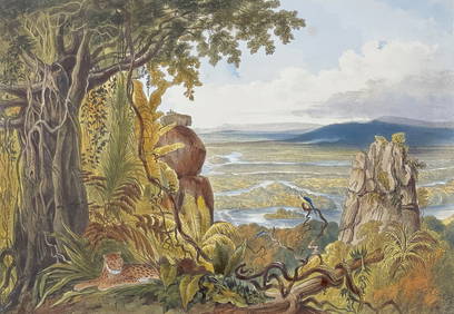
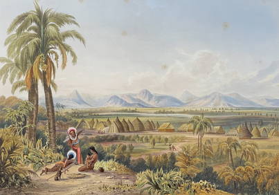
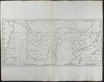
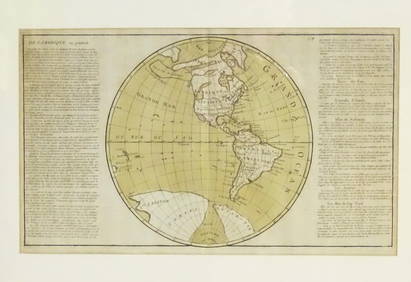
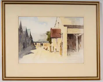
Antique Dug Relic Friendship RingFeb 24, 20241784 New Map of Cambridgeshire Thomas CondorFeb 24, 2024Schomburgk - Map of GuayanaFeb 24, 2024Schomburgk - The Comuti or Taquiare (Taquiari) Rock on the River EssequiboFeb 24, 2024Schomburgk - Pirara and Lake Amucu, The Site of El DoradoFeb 24, 2024Carey, pub. 1796 - Map of The State of South CarolinaFeb 24, 2024Carey, pub. 1796 - Map of the Tennassee State formerly part of North Carolina (Tennessee)Feb 24, 2024Map: A 19thC engraved and hand coloured map of South America. Published by the Society for theFeb 26, 2024Map: An 18thC engraved and hand coloured map of North America and South America, titled DeFeb 26, 2024Northern & Southern Africa. Maghreb. Orange River Sovereignty. HALL 1854 mapFeb 28, 2024Afrique. Pays des Hottentots #50. Namibia South Africa VANDERMAELEN 1827 mapFeb 28, 2024Northern & Southern Africa. Maghreb. Orange River Sovereignty. HALL 1856 mapFeb 28, 2024Afrique. Pays des Hottentots #51. Botswana South Africa. VANDERMAELEN 1827 mapFeb 28, 2024G. F. Woodworth (20th C) Watercolor, BurcombeMar 01, 2024MAP, Eastern US, StockdaleMar 12, 2024MAPS IN REPORT, Eastern US, G.L.O.Mar 12, 2024MAP, California, BancroftMar 12, 2024MAP, South America, AaMar 12, 2024MAP, Chile, HondiusMar 12, 2024MAP, Tierra del Fuego, BlaeuMar 12, 2024MAP, Atlantic Islands, TallisMar 12, 2024MAP, France, HomannMar 12, 2024MAP, Germany, Homann HeirsMar 12, 2024MAP, Southern Asia, SansonMar 12, 2024 