George Adomeit (American 1879-1964) CAPE COD LandscapePremier Auction Galleries4.3(338)See Sold PriceMar 09, 2024
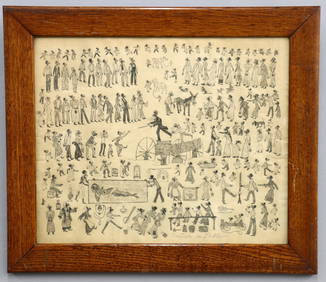
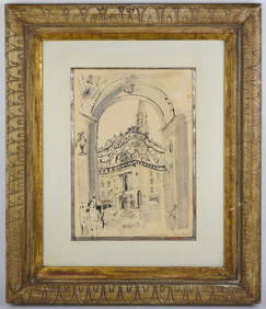
Attrib. M. McGeath Darktown Auction DrawingSchmidt's Antiques Inc. Since 19114.8(440)See Sold PriceMar 02, 2024
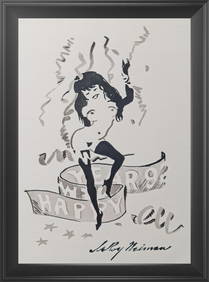
LeRoy Neiman 'Femlin - Happy New Year 1992' Original ink & watercolor drawingWhite Knight Auction, Inc4.7(259)See Sold PriceFeb 25, 2024
Old Master ink drawing after Albrecht Durer. "Joachim and the Angel". Early ink drawing on paperTremont Auctions4.5(298)See Sold PriceFeb 25, 2024
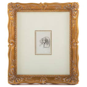
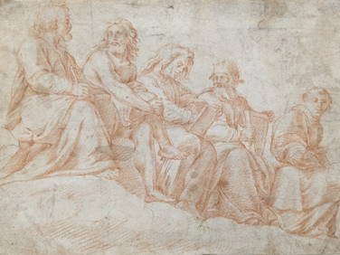
American Folk Art Drawing of a CatSchmidt's Antiques Inc. Since 19114.8(440)See Sold PriceMar 02, 2024
(2) ANDREW ANDERSON-BELL (20TH C.) PASTEL DRAWINGS LANDSCAPES AT DUSKAustin Auction Gallery4.7(1.2k)See Sold PriceFeb 25, 2024
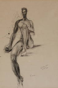
17th/18th century old master sanguine drawing of 5 figures seated, 2 holding books. Dirtying. HingeTremont Auctions4.5(298)See Sold PriceFeb 25, 2024
Attrib. M. McGeath Darktown Auction DrawingSchmidt's Antiques Inc. Since 19114.8(440)See Sold PriceMar 02, 2024
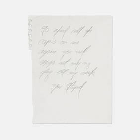
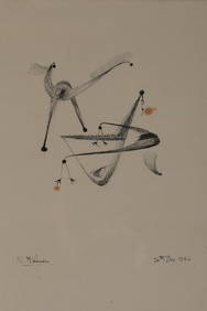
Norman McLaren Signed 1946 Abstract Sketch DrawingKavanagh Auctions4.6(315)See Sold PriceFeb 24, 2024
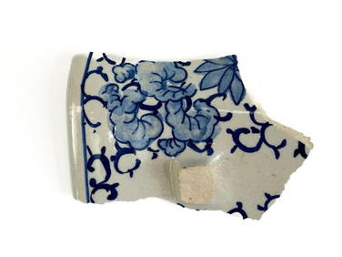
Oyvind Fahlstrom, Sketch for World Map from the PeaceArtist: Oyvind Fahlstrom, Swedish (1928 - 1976) Title: Sketch for World Map from the Peace Portfolio Year: 1972 Medium: Silkscreen, Signed and numbered in pencil Edition: 150 Size: 33 in. x 41.5 in. (See Sold Price
Oyvind Fahlstrom, Sketch for World Map from the PeaceArtist: Oyvind Fahlstrom, Swedish (1928 - 1976) Title: Sketch for World Map from the Peace Portfolio Year: 1972 Medium: Silkscreen, Signed and numbered in pencil Edition: 65/150 Size: 33 in. x 41.5 inSee Sold Price
Oyvind Fahlstrom, Sketch for World Map from the PeaceArtist: Oyvind Fahlstrom, Swedish (1928 - 1976) Title: Sketch for World Map from the Peace Portfolio Year: 1972 Medium: Silkscreen, Signed and numbered in pencil Edition: 65/150 Size: 33 in. x 41.5 inSee Sold Price
Oyvind Fahlstrom, Sketch for World Map from the PeaceArtist: Oyvind Fahlstrom, Swedish (1928 - 1976) Title: Sketch for World Map from the Peace Portfolio Year: 1972 Medium: Silkscreen, Signed and numbered in pencil Edition: 150 Size: 33 in. x 41.5 in. (See Sold Price
Oyvind Fahlstrom, Sketch for World Map, SilkscreenArtist: Oyvind Fahlstrom, Swedish (1928 - 1976) Title: Sketch for World Map from the Peace Portfolio Year: 1972 Medium: Silkscreen, Signed and numbered in pencil Edition: 65/150 Size: 33 in. x 41.5 inSee Sold Price
Oyvind Fahlstrom, Sketch for World Map, SilkscreenArtist: Oyvind Fahlstrom, Swedish (1928 - 1976) Title: Sketch for World Map from the Peace Portfolio Year: 1972 Medium: Silkscreen, Signed and numbered in pencil Edition: 65/150 Size: 33 in. x 41.5 inSee Sold Price
SoldOyvind Fahlstrom (Swedish, 1928–1976)Sketch for World Map, 1973; Screenprint (framed); Signed and numbered 119/150; 22" x 41" (sheet); Provenance: Private Collection, New JerseySee Sold Price
Oyvind Fahlstrom, World Map, ScreenprintArtist: Oyvind Fahlstrom, Swedish (1928 - 1976) Title: World Map Year: 1973 Medium: Screenprint Edition: 150 Size: 22 x 42 in. (55.88 x 106.68 cm)See Sold Price
OYVIND FAHLSTROM, Sketch for Kidnapping Kissinger,Sketch for Kidnapping Kissinger, 1974 Screenprint in colors, on wove paper, with full margins, I. 23 1/4 x 35 1/4 in. (59.1 x 89.5 cm); S. 27 1/2 x 39 in. (69.9 x 99.1 cm) signed and numbered 44/100 iSee Sold Price
FIRST WORLD WAR: Sketch map of area North of Baghdad.TITLE/CONTENT OF MAP: 'Sketch map of area North of Baghdad' DATE PRINTED: 1935 IMAGE SIZE: Approx 17.5 x 25.0cm, 6.75 x 10 inches (Medium); Please note that this is a folding map. TYPE: Vintage colourSee Sold Price
SoldTochnit le'Hashkanat Shalom Nitzchi - Includes LargeTochnit le'Hashkanat Shalom Nitzchi Ba'Olam, by Avraham Tzfati. [Tel Aviv], [1954]. With two large, interesting maps of world peace. At the end of the book, three typewritten folded leaves were attachSee Sold Price
1943 Polar Projection of World at Peace Pictorial MapTitle/Content of Map: 1943 Alcoa Aluminum Polar Projection of World at World Pictorial Map -- Global Map for Global War and Global Peace Date Printed: 1943 Cartographer: Alcoa Aluminum Co. Size: 24.4See Sold Price
SoldWorld Map from 1943 WWII by Alcoa Aluminum1943 Alcoa Aluminum Polar Projection of the World during World War II. Global Map for Global War and Global Peace. Size: 24.4 x 33 in. In house shipping is available, buyer pays shipping cost.See Sold Price
SoldWorld Map from 1943 WWII by Alcoa Aluminum1943 Alcoa Aluminum Polar Projection of the World during World War II. Global Map for Global War and Global Peace. Size: 24.4 x 33 in. In house shipping is available, buyer pays shipping cost.See Sold Price
World Map from 1943 WWII by Alcoa Aluminum1943 Alcoa Aluminum Polar Projection of the World during World War II. Global Map for Global War and Global Peace. Size: 24.4 x 33 in. In house shipping is available, buyer pays shipping cost.See Sold Price
SoldBartholomew, John 1889 Lot of 5 World, Europe MapsIncl Natural Productions, Chart of the World of showing Heights and Depths, Sketch Chart of the North Atlantic, Railway Map of Central Europe, and Railway Map of British Isles. Lithograph Maps PublishSee Sold Price
SoldPropaganda Poster WWII War and Peace India MapOriginal vintage World War Two pictorial map for India In War And Peace featuring colourful illustrations of people, animals, factories, cattle, products and points of interest including silk, petroleSee Sold Price
ANCIENT WORLD. World according to Ptolemy AD150. Sketch map. BARTHOLOMEW 1901TITLE/CONTENT OF MAP: 'The World according to Ptolemy A.D. 150' DATE PRINTED: 1901 IMAGE SIZE: Approx 12.5 x 20.0cm, 4.75 x 8 inches (Medium) TYPE: Antique map CONDITION: Good; suitable for framing. PSee Sold Price
SoldMercator Map of the World UnitedA Pictorial History of Transport & Communications & Paths to Permanent Peace." Originated, designed, copyrighted and distributed by Oliver K. Whiting of London. Drawn & published by Ernest Dudley ChasSee Sold Price
George Cram: United States in Peace 1889Map: United States in Peace (1865-1889) Maker: George Franklin Cram Publishing: Chicago Date: 1889 Size: 11.5 x 14.5 inches Medium: Color lithograph From Cram's Unrivaled Atlas of the World George F.See Sold Price
SoldWWI St. Mihiel Map and BookWorld War I folding map and Map Room book titled Some "Maps"-And Other Sketches. Map measures 30" x 32.5" and may be missing the top sections. Provenance: Estate of Russell Johanson, Ravenna Rare BookSee Sold Price
CENTRAL EUROPE. 1914-1920 border changes due to First World War 1 1920 old mapTITLE/CONTENT OF MAP: A map of Europe, with the political divisions after the Peace of Paris and Congress of Vienna [4 sheets] This very large map, printed on 4 sheets, shows a re-aligned Europe afterSee Sold Price
SoldWhy Germany Wants Peace. Washington D.C.: C.S. HammondWhy Germany Wants Peace. Washington D.C.: C.S. Hammond & Co., United States Committee on Public Information, 1918. Political propaganda regarding World War I, with a map of Europe, Northern Africa, anSee Sold Price
SoldWorld War 1 Scale 1:20,000 map folded and mounted onWorld War 1 Scale 1:20,000 map folded and mounted on cloth marked Secret Yahia (B5) showing Enemy Trenches, Gun emplacements, Machine Guns; with two panorama sketches of Neby Samwil drawn by 2/Lt S HSee Sold Price
17TH C. WORLD MAP BY NICOLAES VISSCHER (NETHERLANDS, 1618-1709)Thomaston Place Auction Galleries4.4(394)See Sold PriceFeb 24, 2024
Vintage Full Color World Map LithographThe Benefit Shop Foundation Inc.4.3(3k)See Sold PriceFeb 28, 2024
Nova Totius Full Color Geographical World MapThe Benefit Shop Foundation Inc.4.3(3k)See Sold PriceFeb 28, 2024
Pair of The Gateway to a Continent Books - Grand Central Zone and 1939 World's FairRail & Road Auctions4.6(165)See Sold PriceMar 07, 2024
Arthur Armour (1908-1998) Pair Aluminum Waste BasketsAbsolute Auction Gallery4.5(58)See Sold PriceFeb 28, 2024
Carey, pub. 1796 - A Chart of the West IndiesTrillium Antique Prints & Rare Books4.5(33)See Sold PriceFeb 24, 2024
Carey, pub. 1796 - Map of the State of MarylandTrillium Antique Prints & Rare Books4.5(33)See Sold PriceFeb 24, 2024
Carey, pub. 1796 - Map of GeorgiaTrillium Antique Prints & Rare Books4.5(33)See Sold PriceFeb 24, 2024
Carey, pub. 1796 - Map of The State of South CarolinaTrillium Antique Prints & Rare Books4.5(33)See Sold PriceFeb 24, 2024
Carey, pub. 1796 - Map of KentuckyTrillium Antique Prints & Rare Books4.5(33)See Sold PriceFeb 24, 2024
Carey, pub. 1796 - Map of the Tennassee State formerly part of North Carolina (Tennessee)Trillium Antique Prints & Rare Books4.5(33)See Sold PriceFeb 24, 2024
De Jode, Rare, pub. 1593 - Map of Africa (Africae Vera Forma, et Situs)Trillium Antique Prints & Rare Books4.5(33)See Sold PriceFeb 24, 2024