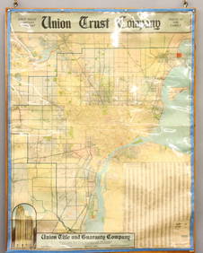
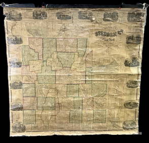
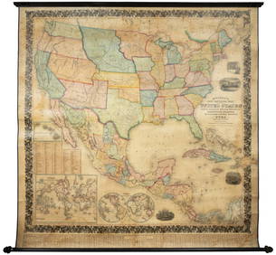
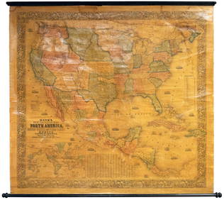
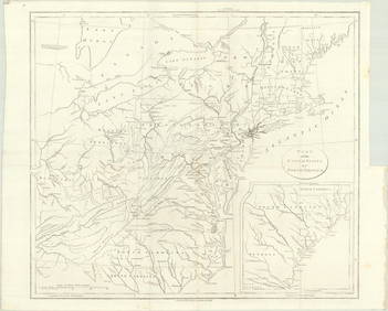
Colton's Map of the United States of America
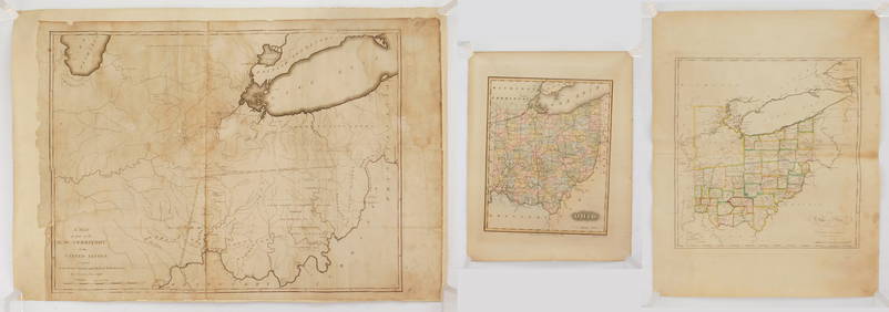
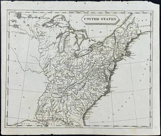
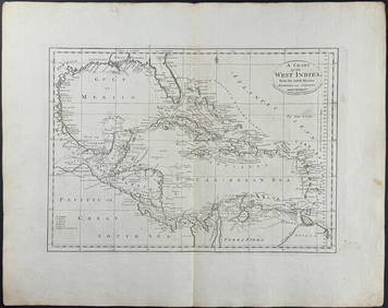
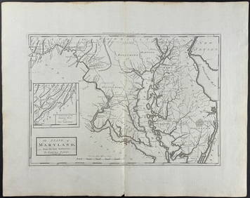
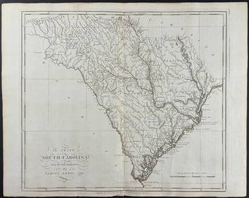
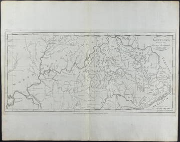
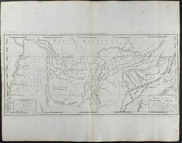
Arrowsmith & Lewis - Map of the United StatesFeb 24, 2024Carey, pub. 1796 - A Chart of the West IndiesFeb 24, 2024Carey, pub. 1796 - Map of the State of MarylandFeb 24, 2024Carey, pub. 1796 - Map of GeorgiaFeb 24, 2024Carey, pub. 1796 - Map of The State of South CarolinaFeb 24, 2024Carey, pub. 1796 - Map of KentuckyFeb 24, 2024Carey, pub. 1796 - Map of the Tennassee State formerly part of North Carolina (Tennessee)Feb 24, 20242 vols. Who's Who in Colored AmericaMar 07, 2024French chronicler of Lafayette's journey to AmericaMar 07, 2024Zebulon Pike's Exploratory Travels 1st U.K. edMar 07, 2024Large map of the Americas 1794Mar 07, 2024Texas Brags humorous pictorial mapMar 07, 2024Large wall map of U.S. & Central AmericaMar 07, 2024Wall map of North America 1856Mar 07, 2024Cooke, George 1801 Antique Map. United States of AmericaMar 01, 2024Blackie (Pub) 1882 Folio Map. West USA - Pacific StatesMar 01, 2024Blackie (Pub) 1882 Folio Map. United States of North AmericaMar 01, 2024Map of United States of North America, 1785Mar 14, 2024Books on American Interest, 8Apr 16, 2024MAPS, United States, Scarborough Co.Mar 12, 2024MAP, United States, PatitucciMar 12, 2024MAP, Eastern US, StockdaleMar 12, 2024MAP IN BOOK, US, MartynMar 12, 2024ENGRAVING, Native American, McKenneyMar 12, 2024 