

Popular Searches
Popular Searches

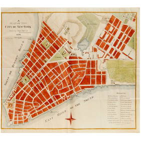
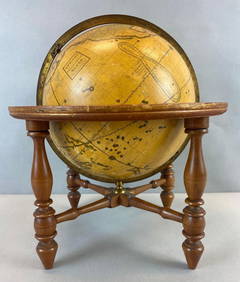
Matthew Albert Lotter hand colored engraved two sheet
You May Also Like


Similar Sale History
Sold

Sold

Sold

Sold

Sold


Sold

Sold

Sold

Sold

Sold

Sold

Sold

Sold

Sold

Sold

Sold

Sold

Sold

Sold

Sold

Sold

Sold

Upcoming Sales
View All


TOP