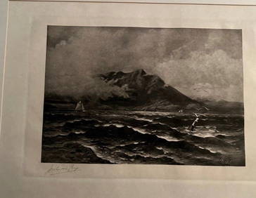
Coast Survey charts of Washington & Oregon
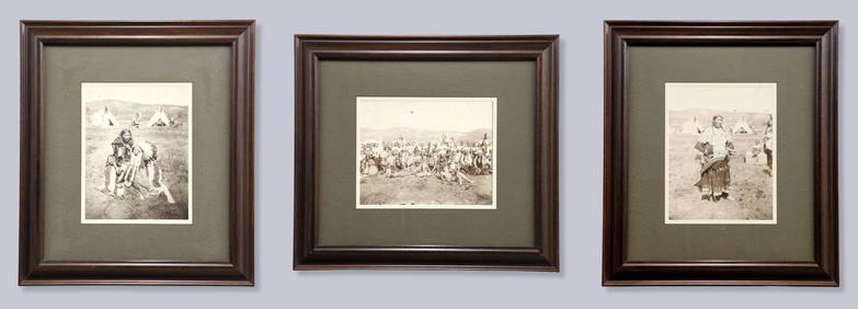
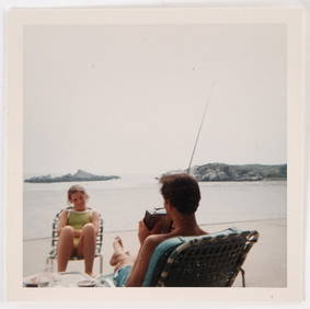
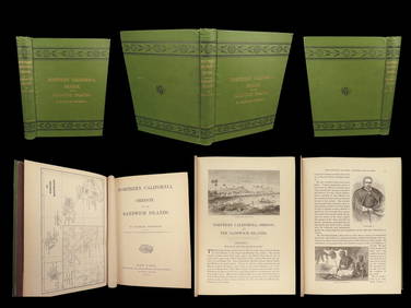
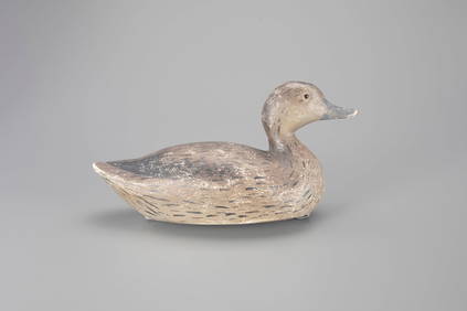
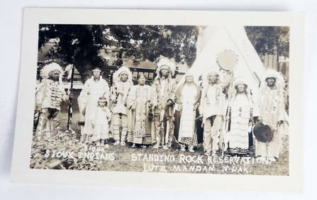
5-pack of Mixed Freight Cars-Frisco/UP/OWRN-Intermountain-HO Scale-New in BoxFeb 25, 20241874 HAWAII 1ed Northern California Oregon Pacific Island Travel Puget RedwoodsMar 10, 2024Wigeon Hen Decoy by Amiel Garibaldi (1908-1993)Feb 24, 2024CHART "SOUTHERN COAST OF LONG ISLAND FROM MONTAUK POINT TO EAST HAMPTON" Circa 1877 11.25" x 22.75"Feb 27, 2024Picturesque California, by John Muir, Volume 3, Imperial Japan EditionFeb 24, 20242005-D WASHINGTON Oregon State QuarterFeb 24, 2024Lot of 12 Vintage 1954 General Mills Promotional Tin License PlatesMar 28, 20241852 CHART SHOWING POSITIONS of DAVIS'S SOUTH SHOAL & OTHER DANGERS antiqueFeb 27, 20241867 CHART OF GREENWICH BAY RHODE ISLAND antiqueFeb 27, 2024FIVE ANTIQUE STERLING SILVER SOUVENIR TEASPOONS & FORKMar 14, 2024Patty Fawn Sterling Silver Baby Spoon Narrower Inlay Abalone Eyes Lelooska TribeFeb 27, 2024West Indies. South Coast of Jamaica from Port Royal to Pedro Bluff.Feb 27, 2024Quicksilver Deposits atlas 1887Mar 07, 2024Emory on the Mexican BoundaryMar 07, 202419th c. Western photos and ephemera collectionMar 07, 2024Chart of Entrance to San Francisco Bay 1856Mar 07, 2024Preuss/Fremont map of Upper California 1850Mar 07, 2024Road map of West Coast states 1925Mar 07, 2024Charts of the Orkney Islands 1810Mar 07, 2024Rikki Drotar Mixed Media Painting Allegrato II 20 x 20 inchesFeb 25, 2024Rikki Drotar Mixed Media Painting True Hidden Melody 50 x 50 inchesFeb 25, 2024Rikki Drotar Mixed Media Painting Allegrato I 20 x 20 inchesFeb 25, 2024Francis McNally - Antique Map of Washington, Oregon, Idaho, Nevada, Utah & ArizonaFeb 28, 20246- Washington, Oregon, Hawaii Transit TokensFeb 28, 2024 

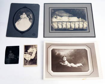

![[DOUGLASS, Frederick (1818-1895)]. ROBERTS, J.B., photographer. CDV of Frederick Douglass. (1 of 2)](https://p1.liveauctioneers.com/197/319238/171467829_1_x.jpg?height=282&quality=70&version=1707520367)