2002 British Escape Map of Afganistan
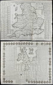
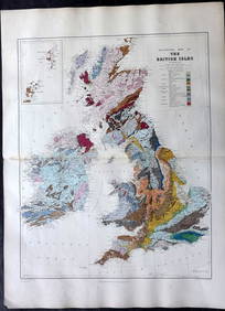
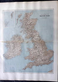
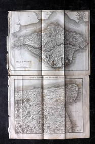
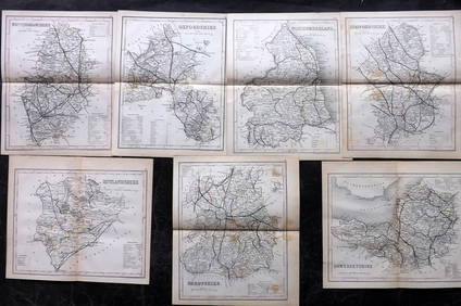
Jerusalem Map for British Soldiers in Palestine - WW2Feb 27, 2024AN ANTIQUE FOLDING MAP OF THE BRITISH ISLES DATED 1873Feb 28, 2024BRITISH BRONZE SCULPTURE KENNETH ARMITAGEFeb 24, 2024Chatelain - 3 Maps of the British Isles (England, Ireland, Scotland)Feb 24, 2024De Jode, Rare, pub. 1593 - Map of the British Isles [England, Scotland, Ireland] (Angliae Scotiae etFeb 24, 2024Map: A 17thC engraved map of the British Isles titled A Generall Mapp of the Isles of GreatFeb 26, 2024INDIA WITHIN THE GANGES SUSAN GOLE ILLUSTRATED MAPS EARLY CARTOGRAPHYFeb 27, 20245 U.S. fighter pilot China-Japan escape cloth mapsMar 07, 20245 U.S. fighter pilot East Asia escape cloth mapsMar 07, 2024Colonial West Africa. Nigeria Cameroon Congo. British German. TIMES 1900 mapFeb 28, 2024Colonial West Africa. Nigeria Cameroon Congo. British German. TIMES 1895 mapFeb 28, 2024Hate British characters story map silk scroll vertical axisFeb 28, 2024Edward Stanford (British 1827-1904) mapMar 02, 2024Ernie Els signed 11x14 Photo Custom Framed 2002 British Open arms up- PSA HoloFeb 26, 2024Stanford, Edward 1901 Large Map. Geological Map of the British IslesMar 01, 2024Stanford, Edward 1901 Large Map. Hydrographical Map of the British IslesMar 01, 2024Stanford, Edward 1901 Large Map. Stereographical Map of The British IslesMar 01, 2024Paterson & Mogg 1822 Pair of British Road Maps. Isle of Thanet & WightMar 01, 2024Paterson & Mogg 1822 Pair of British Road Maps. Rye, Eastbourne, SouthamptonMar 01, 2024Paterson & Mogg 1822 Pair of British Road Maps. Deal, Hythe, Shoreham, ChichesterMar 01, 2024Dugdale & Archer C1840 Lot of 7 British County MapsMar 01, 2024Map of British IndiaMar 08, 2024MAP, Britain, HomannMar 12, 20246 pcs Vintage Paper Maps. Vancouver Island, British Columbia. Upper Elk Creek Sheet. See pics.May 25, 2024 






![De Jode, Rare, pub. 1593 - Map of the British Isles [England, Scotland, Ireland] (Angliae Scotiae et (1 of 2)](https://p1.liveauctioneers.com/6581/319571/171593327_1_x.jpg?height=282&quality=70&version=1707853304)








![De Jode, Rare, pub. 1593 - Map of the British Isles [England, Scotland, Ireland] (Angliae Scotiae et (1 of 2)](https://p1.liveauctioneers.com/6581/319571/171593327_1_x.jpg?height=282&quality=70&version=1707853304)


