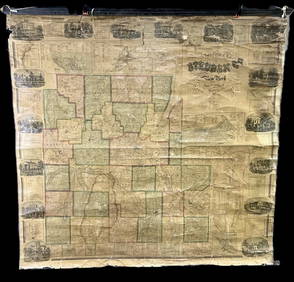
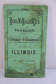
1880 COUNTY MAP OF THE STATE OF ILLINOIS
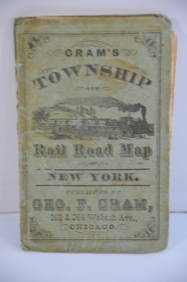
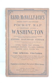
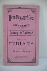
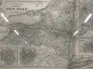
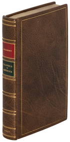
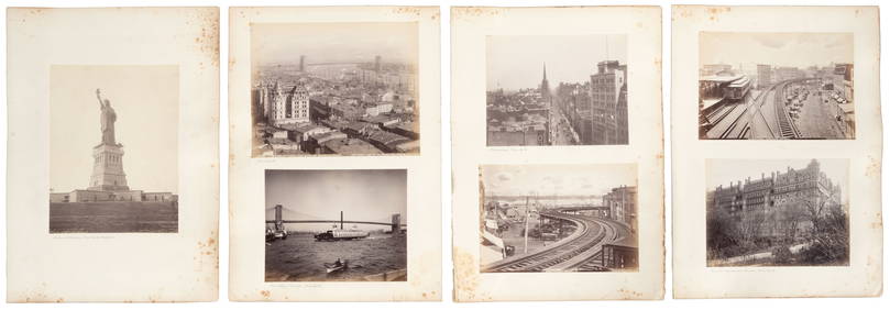
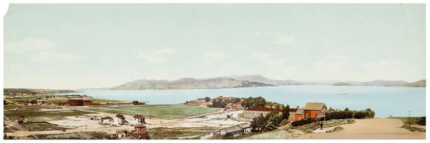
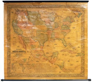
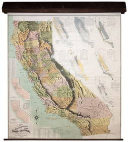
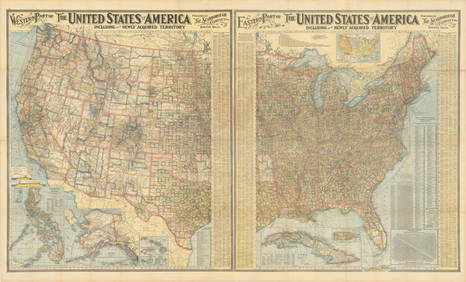
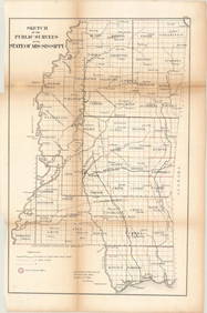
Crams Railroad Map of New York-1881Feb 24, 2024Rand McNally Railroad Map of Arizona-1909Feb 24, 2024Rand McNally Railroad Map of Washington-1906Feb 24, 2024Rand McNally Township County and Railroad Map of Illinois-1879Feb 24, 2024Rand McNally Township County and Railroad Map of Indiana-1880Feb 24, 2024Rand McNally/Santa Fe Railroad Map of Iowa-1912Feb 24, 2024Vintage County Map Of NY State Plate EngravingFeb 28, 2024Rand McNally & Co's New Ideal State and County Survey and Atlas 1911Apr 20, 2024[CHICAGO]. Rare Pre-Fire Illinois Map: “Blanchard’s Map of ...Mar 07, 2024ANDREW RAYMOND JANSON OIL ON BOARD ADIRONDACKSMar 03, 20241861 County Map of IllinoisFeb 24, 20241905 20th Century Atlas of Boone County IllinoisFeb 24, 2024Bradbury's travels along the Missouri RiverMar 07, 2024Twelve views of NY, with Lady LibertyMar 07, 2024Colton/Smith Western Guide with map 1844Mar 07, 2024W.H. Jackson photochrome of Golden GateMar 07, 2024Rand McNally & Co's Montana map 1880Mar 07, 2024Wall map of North America 1856Mar 07, 2024Grapho-Politico wall map of California 1902Mar 07, 2024Map of Yorktown - York County in Virginia - United StatesFeb 28, 2024Folger, L. B - Map of the state of AlabamaFeb 28, 2024MAPS, United States, Scarborough Co.Mar 12, 2024MAPS, Mississippi, G.L.O.Mar 12, 2024Polyconic Projection Retractable Chicago MapMar 09, 2024 







![[CHICAGO]. Rare Pre-Fire Illinois Map: “Blanchard’s Map of ... (1 of 2)](https://p1.liveauctioneers.com/928/318880/171361260_1_x.jpg?height=282&quality=70&version=1707501302)







![[CHICAGO]. Rare Pre-Fire Illinois Map: “Blanchard’s Map of ... (1 of 2)](https://p1.liveauctioneers.com/928/318880/171361260_1_x.jpg?height=282&quality=70&version=1707501302)


