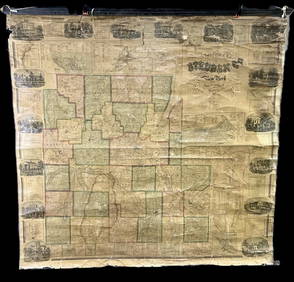
Weller: Antique Map of British India, 1863
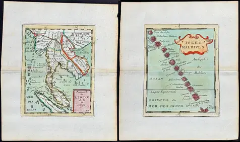
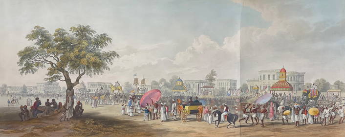
Warren Williams (UK,1863-1941) oil painting antiqueApr 14, 2024AN ANTIQUE FOLDING MAP OF THE BRITISH ISLES DATED 1873Feb 28, 2024Duval - Pair: Map of India & Map of MaldivesFeb 24, 2024D'Oyly (Calcutta, India) - Government House from St. Andrew's LibraryFeb 24, 2024D'Oyly (Calcutta, India) - Procession of the CurruckpoojaFeb 24, 2024De Jode, Rare, pub. 1593 - Map of the British Isles [England, Scotland, Ireland] (Angliae Scotiae etFeb 24, 20242009 INDIAN PAINTING CHILDREN BY SAKTI BURMANMar 02, 2024CENTRAL EAST AFRICA French Belgian Congo British German Kenya Tanzania 1909 mapFeb 28, 2024SOUTH CENTRAL AFRICA. Shows Zambesi river as circular! WELLER 1863 old mapFeb 28, 2024COLONIAL AFRICA. British East/Central/South Africa. Bechuanaland 1899 old mapFeb 28, 2024Colonial Africa. British German French Spanish Portuguese Italian TIMES 1900 mapFeb 28, 2024COLONIAL AFRICA. British East/Central/South Africa. Bechuanaland 1897 old mapFeb 28, 2024Africa. Congo Free Trade Area. British South Africa Company. STANFORD 1896 mapFeb 28, 2024Africa. Mauritius, Bourbon (Reunion) & Natal by Edward Weller 1860 old mapFeb 28, 2024Africa. Congo Free Trade Area. British South Africa Company. STANFORD 1894 mapFeb 28, 2024Afrique…Nord-Ouest' & 'Inde' by Meissas. N Africa India Singapore 1861 old mapFeb 28, 2024PRE COLONIAL WESTERN AFRICA. Shows Mountains of Kong. Tribes. WELLER 1863 mapFeb 28, 2024Churchill & Nieuhof 1744 Folio Map. Malabar IndiaMar 01, 2024Blackie (Pub) 1882 Folio Map. West India Islands & Central AmericaMar 01, 2024Stanford, Edward 1901 Large Map. Geological Map of the British IslesMar 01, 2024Stanford, Edward 1901 Large Map. Hydrographical Map of the British IslesMar 01, 2024Stanford, Edward 1901 Large Map. Stereographical Map of The British IslesMar 01, 2024British India BowlMar 01, 2024Map of British IndiaMar 08, 2024 






![De Jode, Rare, pub. 1593 - Map of the British Isles [England, Scotland, Ireland] (Angliae Scotiae et (1 of 2)](https://p1.liveauctioneers.com/6581/319571/171593327_1_x.jpg?height=282&quality=70&version=1707853304)








![De Jode, Rare, pub. 1593 - Map of the British Isles [England, Scotland, Ireland] (Angliae Scotiae et (1 of 2)](https://p1.liveauctioneers.com/6581/319571/171593327_1_x.jpg?height=282&quality=70&version=1707853304)


