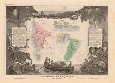
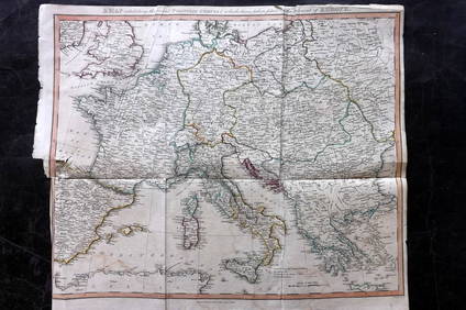
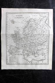
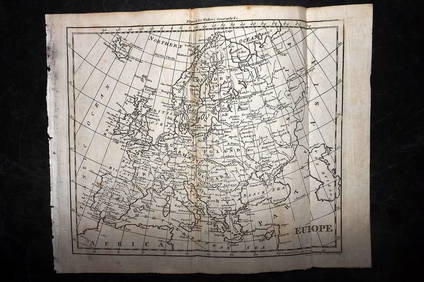
Map of Greek Colonies. Europe. 1854.
Italo-Corinthian Terracotta Aryballos with SoldiersMar 06, 2024Hand Colored Engraved Map of Europe, Jean Baptiste Bourguignon Anville 1754Mar 03, 2024ANTIQUE MAP OF EUROPE 1833Mar 10, 2024Two (2) Antique 18th C. Copper Engraved Framed Maps - America & EuropeMar 14, 2024Carey, pub. 1796 - A Chart of the West IndiesFeb 24, 2024Carey, pub. 1796 - Map of the State of MarylandFeb 24, 2024Carey, pub. 1796 - Map of GeorgiaFeb 24, 2024Carey, pub. 1796 - Map of The State of South CarolinaFeb 24, 2024Carey, pub. 1796 - Map of KentuckyFeb 24, 2024Carey, pub. 1796 - Map of the Tennassee State formerly part of North Carolina (Tennessee)Feb 24, 20241711 GREEK BIBLE ILLUSTRATED w/ MAPS VELLUM BOUND antique NEW TESTAMENTFeb 27, 2024Northern & Southern Africa. Maghreb. Orange River Sovereignty. HALL 1854 mapFeb 28, 2024COLONIES FRANÇAISES en AFRIQUE. Africa Sénégal Madagascar. LEVASSEUR c1850 mapFeb 28, 2024ANCIENT NORTH AFRICA. Greek colonies. "La Libye, L'Egypte…". TARDIEU 1830 mapFeb 28, 2024Clarke & Neele 1815 Map. Europe - Recent Political ChangesMar 01, 2024Cooke, George 1801 Antique Map. EuropeMar 01, 2024Blackie (Pub) 1882 Folio Map. EuropeMar 01, 2024Walker, John C1805 Antique Map. EuropeMar 01, 2024Becker, F. P. C1845 Antique Map. EuropeMar 01, 2024MAP, Europe, MunsterMar 12, 2024MAP, Europe, TassinMar 12, 2024MAP, Europe, Cities, SchenkMar 12, 2024MAP, Europe, OrteliusMar 12, 2024MAP, Italy, FerMar 12, 2024 