1854 Ensign, Bridgeman, & Fanning Pictorial Map of the
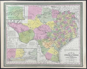
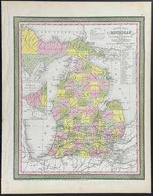
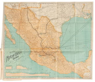
Cleveland and Mahoning RR 2nd Annual Report-December 20, 1854Feb 24, 2024George Hayward - Map of the City of New York 1854Mar 07, 2024Mitchell - Map of the City of Washington (Washington, DC)Feb 24, 2024Mitchell - Map of TexasFeb 24, 2024Mitchell - Map of MichiganFeb 24, 2024GEORGE ANDREW CORLEY (DATES UNKNOWN) U.S. TEAM SKI TRYOUTS / MT. HOOD OREGON. 1939.Feb 29, 2024JAMES LEWICKI (1917-1979) STOWE / SKI CAPITAL OF THE EAST. Circa 1960s.Feb 29, 2024Lewis's Mississippi Valley in color lithographyMar 07, 2024Marcy's Red River with map folderMar 07, 2024Guide to Mexico with folding map 1895Mar 07, 2024Jo Mora's pictorial map of Monterey Peninsula 1927Mar 07, 2024Robert Cormack cartoon map of the Mother Lode c.1931Mar 07, 2024Pictorial map of ribald San Francisco 1940Mar 07, 2024Bird's-eye pictorial map of Southern CaliforniaMar 07, 2024Sanson/Jaillot map of North America 1719Mar 07, 2024Texas Brags humorous pictorial mapMar 07, 2024World map with Cook's routes 1786Mar 07, 2024World map with insular CaliforniaMar 07, 2024Northern & Southern Africa. Maghreb. Orange River Sovereignty. HALL 1854 mapFeb 28, 2024Afrique…Nord-Ouest' & 'Inde' by Meissas. N Africa India Singapore 1861 old mapFeb 28, 2024Early colonial Africa. Inset Madeira & Aden. SIDNEY HALL 1854 old antique mapFeb 28, 2024Perry, Matthew C. 1856 Large Map. Shah Bay, Lew Chew I. JapanMar 01, 2024Map of North America, Geographical Pub CoFeb 28, 2024E.O. Goldbeck (1892-1986), Texas Oil Field PhotoFeb 24, 2024 


