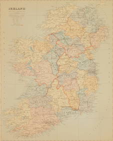
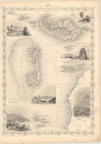
Map 1851 Tallis Map of British Isles
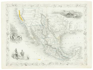
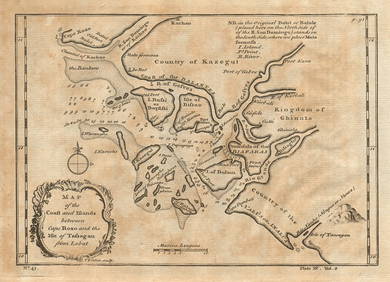
LATE 17TH C. FRENCH MAP OF THE NEW WORLD BY ALEXIS-HUBERT JAILLOT (1632-1712)Feb 24, 2024Jerusalem Map for British Soldiers in Palestine - WW2Feb 27, 2024AN ANTIQUE FOLDING MAP OF THE BRITISH ISLES DATED 1873Feb 28, 2024Chatelain - 3 Maps of the British Isles (England, Ireland, Scotland)Feb 24, 2024De Jode, Rare, pub. 1593 - Map of the British Isles [England, Scotland, Ireland] (Angliae Scotiae etFeb 24, 2024Map: A 17thC engraved map of the British Isles titled A Generall Mapp of the Isles of GreatFeb 26, 2024Tallis map of Texas, California & Mexico 1851Mar 07, 2024NORTHERN AFRICA. Morocco Tunisia Algeria. Caravan routes. RAPKIN/TALLIS 1851 mapFeb 28, 2024Coast & Islands between Cape Roxo. Guinea-Bissau & Bissagos. KITCHIN 1745 mapFeb 28, 2024WEST AFRICA I Explorers' routes Senegal Ashanti Ivory Gold Coast. SDUK 1851 mapFeb 28, 2024WEST AFRICA II. NIGERIA. Bight of Benin-Lake Chad. Yariba Houssa. SDUK 1851 mapFeb 28, 2024NORTH AFRICA OF BABRBARY V Parts of Tripoli & Egypt. Libya Tribes. SDUK 1851 mapFeb 28, 2024AFRICA. Shows Mountains of Kong/the Moon. Caravan routes. RAPKIN/TALLIS 1851 mapFeb 28, 2024WESTERN AFRICA.Kong Mountains.Caravan routes.Slave Coast.TALLIS/RAPKIN 1851 mapFeb 28, 2024NORTHERN AFRICA. Morocco Tunisia Algeria. Caravan routes.TALLIS/RAPKIN 1851 mapFeb 28, 2024NORTHERN AFRICA. Morocco Tunisia Algeria. Caravan routes. RAPKIN/TALLIS 1851 mapFeb 28, 2024Edward Stanford (British 1827-1904) mapMar 02, 2024Stanford, Edward 1901 Large Map. Geological Map of the British IslesMar 01, 2024Stanford, Edward 1901 Large Map. Hydrographical Map of the British IslesMar 01, 2024Stanford, Edward 1901 Large Map. Stereographical Map of The British IslesMar 01, 2024Paterson & Mogg 1822 Pair of British Road Maps. Isle of Thanet & WightMar 01, 2024Map of British IndiaMar 08, 2024MAP, Atlantic Islands, TallisMar 12, 2024MAP, Britain, HomannMar 12, 2024 


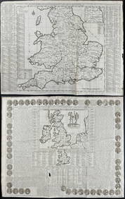
![De Jode, Rare, pub. 1593 - Map of the British Isles [England, Scotland, Ireland] (Angliae Scotiae et (1 of 2)](https://p1.liveauctioneers.com/6581/319571/171593327_1_x.jpg?height=282&quality=70&version=1707853304)








![De Jode, Rare, pub. 1593 - Map of the British Isles [England, Scotland, Ireland] (Angliae Scotiae et (1 of 2)](https://p1.liveauctioneers.com/6581/319571/171593327_1_x.jpg?height=282&quality=70&version=1707853304)


