

Popular Searches
Popular Searches

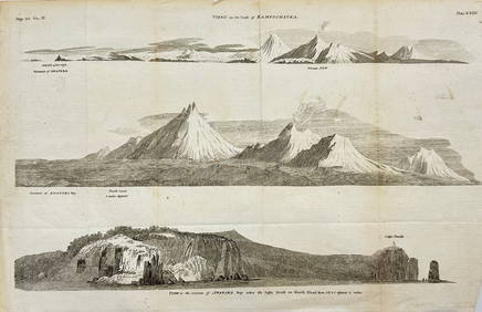
Barclay, James 1808 Antique Map. Russia in Europe
You May Also Like


Similar Sale History
Sold

Sold

Sold

Sold

Sold

Sold

Sold

Sold

Sold

Sold

Sold

Sold

Sold

Sold

Sold

Sold


Sold

Sold

Sold


Sold


Upcoming Sales
View All


TOP