WEST INDIES volcanoes lighthouses telegraph cables. Dutch French. LETTS 1889 map
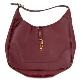
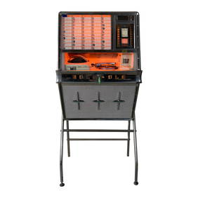
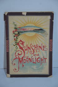
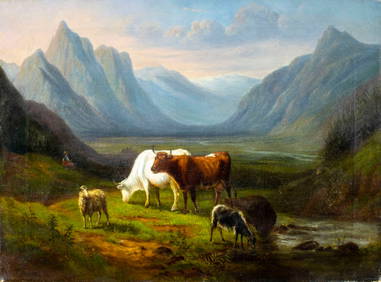
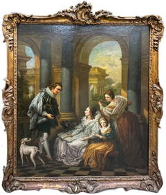
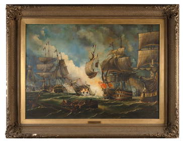
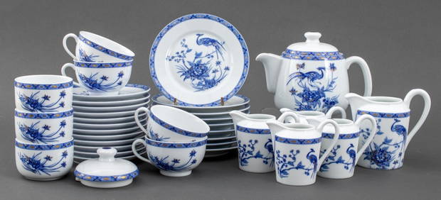
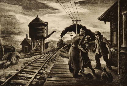
1961 Rock-Ola 1484 Wall Phonograph with Original StandFeb 24, 2024Central Railroad of New Jersey Map of Sandy Hook Route-ca. 1903Feb 24, 2024Chicago Rock Island and Pacific RR Book Sunshine and Moonlight-1889Feb 24, 2024Union Pacific RR Across The Continent West From Omaha, NE Book-April 2, 1868Feb 24, 2024Victor De Grailly (NY,France,1804-1889) oil painting antiqueMar 17, 2024LARGE LATE 17TH C. DUTCH CHART OF CANADA, GREAT LAKES, NEW FRANCE, LABRADOR, HUDSON BAY, BY PIERREFeb 24, 2024LATE 17TH C. FRENCH MAP OF THE NEW WORLD BY ALEXIS-HUBERT JAILLOT (1632-1712)Feb 24, 202418TH C. ANTIQUE MAP: FRENCH & INDIAN WAR, FRAMEDFeb 24, 202419th Century French Bronze Carriage ClockMar 09, 2024By or After Charles-Andre van Loo (French, 1705-1765) Huge Early Dutch Italianate Court SceneMar 02, 2024WILLIAM GRIFFIN (United Kingdom, 19th Century), "Battle of the Glorious 1st June"., Oil on canvas,Feb 27, 2024ANTONIO NICOLO GASPARO JACOBSEN (New York/New Jersey/Denmark, 1850-1921), Port view of an AmericanFeb 27, 2024Havilland Limoges Connaught Hotel Tea ServiceMar 12, 2024Nicholas Visscher (Dutch 1649-1702)Feb 24, 2024Rand McNally Railroad Map Cabinet w/ 21 Railroad MapsMar 08, 2024THOMAS HART BENTON (1889-1975) PENCIL SIGNED LITHOGRAPHFeb 24, 2024MODERN AMERICAN OIL PAINTING BY JOSEPH LA PIERREFeb 24, 2024[ARCTIC]. BOWEN, Emanuel. A New & Accurate Map of the North...Mar 07, 2024Willem Blaeu, Etc. 17th C. Antiquarian Maps, 2Mar 17, 2024Carey, pub. 1796 - Map of KentuckyFeb 24, 2024Carey, pub. 1796 - Map of the Tennassee State formerly part of North Carolina (Tennessee)Feb 24, 2024Jean-Michel Fauquet (attrib.), photograph, 1988Mar 07, 2024Hermes Black Leather Trim 38 Handbag46 Lots AwayHermes Burgundy Leather Trim 38 Handbag47 Lots Away 


![[ARCTIC]. BOWEN, Emanuel. A New & Accurate Map of the North... (1 of 1)](https://p1.liveauctioneers.com/928/318880/171360917_1_x.jpg?height=282&quality=70&version=1707501302)