PIETER SCHENK / VALK / JANSSEN Hand Colored Map of Rhodes Greece ca1702 vgc
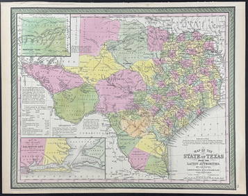
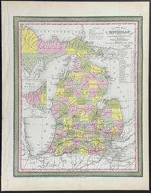
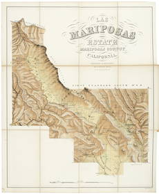
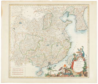
EARLY 18TH C. MAP OF ITALY, FRAMEDFeb 24, 2024MAP - PIETER SCHENK / VALK / JANSSEN Hand Colored superb Map Central Italy c1702Mar 02, 2024PIETER SCHENK / VALK / JANSSEN Hand Colored Map of Rhodes Greece ca1702 vgcMar 02, 2024An early Dutch hand colored engraving map by Georg Balthasar Probst (1732-1801)Feb 27, 2024Hand Colored Map of the city of Amsterdam 1720Mar 03, 2024[ARCTIC]. BOWEN, Emanuel. A New & Accurate Map of the North...Mar 07, 2024[CHICAGO]. Rare Pre-Fire Illinois Map: “Blanchard’s Map of ...Mar 07, 2024[MAPS]. DUFOUR, Auguste-Henri (1795-1865). Bound Volume of ...Mar 07, 2024[MAP]. [ALBRIZZI, Giambatista, 1698-1777]. Carta Geografica...Mar 07, 2024Johann Homann Hand-Colored Map Engraving, c. 1730Mar 17, 2024Framed Hand Colored Antique Map of the Department of Nord, FranceMar 04, 2024Mitchell - Map of TexasFeb 24, 2024Mitchell - Map of MichiganFeb 24, 2024Mariposas Estate 1861 w/ Large hand-colored MapMar 07, 2024De Vaugondy map of ChinaMar 07, 2024Mercator's map of China 1606Mar 07, 2024Large map of the Americas 1794Mar 07, 2024Sanson/Jaillot map of North America 1719Mar 07, 2024Tanner's North America independent TexasMar 07, 2024North America in 1814Mar 07, 2024De Wit map of Scandinavia c.1680Mar 07, 2024Wilkinson Atlas Classica, 1808 hand-colored mapsMar 07, 2024Two Hand-Colored 19th Century Maps of New Orleans and Louisiana, Larger- H.- 12 1/2 in., W.- 15 1/2Mar 08, 2024Abraham Ortelius Indiae Orientalis 1580 MapMar 14, 2024 



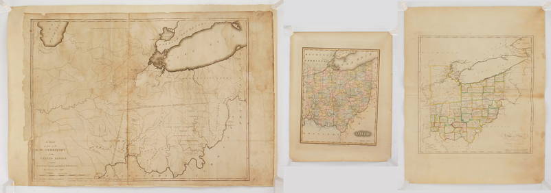

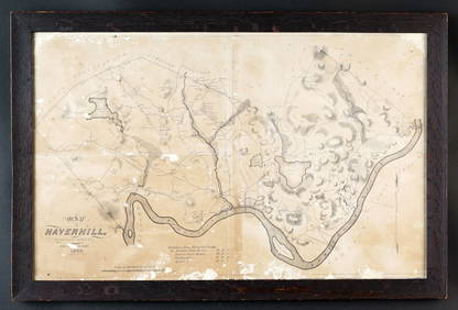
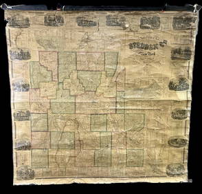
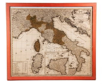


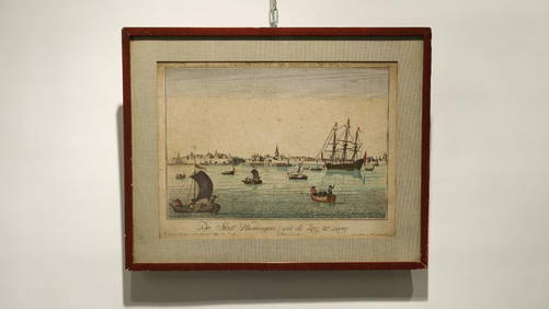

![[ARCTIC]. BOWEN, Emanuel. A New & Accurate Map of the North... (1 of 1)](https://p1.liveauctioneers.com/928/318880/171360917_1_x.jpg?height=282&quality=70&version=1707501302)
![[CHICAGO]. Rare Pre-Fire Illinois Map: “Blanchard’s Map of ... (1 of 2)](https://p1.liveauctioneers.com/928/318880/171361260_1_x.jpg?height=282&quality=70&version=1707501302)
![[MAPS]. DUFOUR, Auguste-Henri (1795-1865). Bound Volume of ... (1 of 2)](https://p1.liveauctioneers.com/928/318880/171361279_1_x.jpg?height=282&quality=70&version=1707501302)
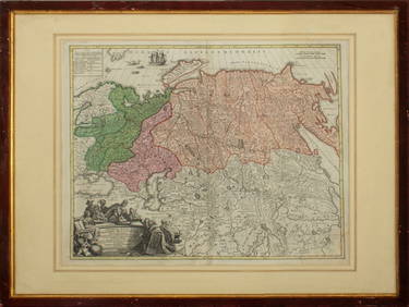
![[MAP]. [ALBRIZZI, Giambatista, 1698-1777]. Carta Geografica... (1 of 1)](https://p1.liveauctioneers.com/928/318880/171361280_1_x.jpg?height=282&quality=70&version=1707501302)


