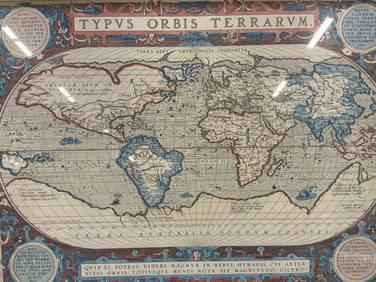
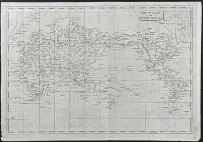
WORLD ON MERCATOR'S PROJECTION unusually Pacific-centred. JOHNSTON 1915 map
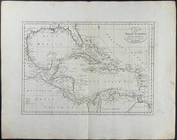
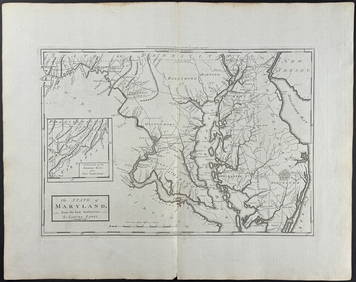
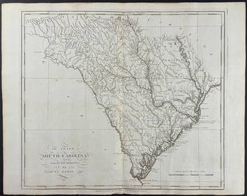
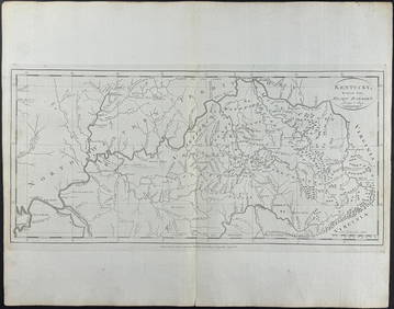
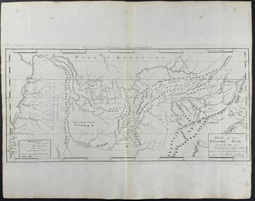
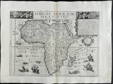
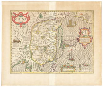
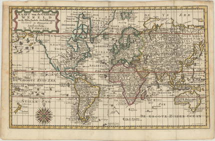
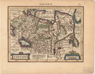
Chicago Milwaukee and St Paul RY Panama Pacific Exposition Brochure-1915Feb 24, 202417TH C. WORLD MAP BY NICOLAES VISSCHER (NETHERLANDS, 1618-1709)Feb 24, 2024Vintage Full Color World Map LithographFeb 28, 2024Nova Totius Full Color Geographical World MapFeb 28, 2024A World MapFeb 27, 2024Arrowsmith & Lewis - Map of the World on Mercator's ProjectionFeb 24, 2024Carey, pub. 1796 - A Chart of the West IndiesFeb 24, 2024Carey, pub. 1796 - Map of the State of MarylandFeb 24, 2024Carey, pub. 1796 - Map of GeorgiaFeb 24, 2024Carey, pub. 1796 - Map of The State of South CarolinaFeb 24, 2024Carey, pub. 1796 - Map of KentuckyFeb 24, 2024Carey, pub. 1796 - Map of the Tennassee State formerly part of North Carolina (Tennessee)Feb 24, 2024De Jode, Rare, pub. 1593 - Map of Africa (Africae Vera Forma, et Situs)Feb 24, 2024Reports from WWII Pacific Theatre 1941-2Mar 07, 2024Candrian's 1915 P.P.I.E mapMar 07, 2024San Francisco map for motorists, 1915Mar 07, 2024Mercator's map of China 1606Mar 07, 2024Nicolaes Van Geelkercken, 1632 world mapMar 06, 2024Blackie (Pub) 1882 Folio Map. West USA - Pacific StatesMar 01, 2024Blackie (Pub) 1882 Folio Map. World on Mercators ProjectionMar 01, 2024MAP, World, GraviusMar 12, 2024MAP, Alaska & Canada, WytflietMar 12, 2024MAPS, England & Wales, MercatorMar 12, 2024MAP, Asia, MercatorMar 12, 2024 